UN/LOCODE hub · Finland
FIKTK
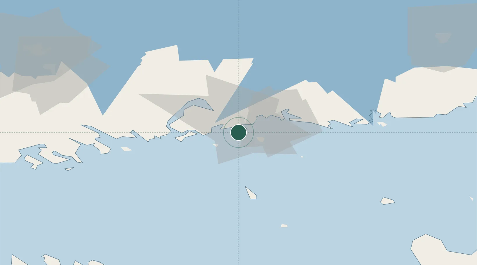
Kotka
60.4367°, 26.9101°
50,157
Population
4
Transport functions
3
Container terminals
Transport Functions
Port
Rail
Road
Border Crossing
Hub Profile
Place type
District seat
Region
Kymenlaakso
Population
50,157
Time zone
Europe/Helsinki
Elevation
1 m
Logistics facilities
6
Container terminals
3
Location
Nearby Logistics Neighbours
Cities
- 1Sunila6 km
- 2Kymenlaakso9 km
- 3Siltakylä (Broby)11 km
- 4Summa16 km
- 5Lakulahti17 km
Ports
- 1Hamina22 km
- 2Loviisa37 km
- 3Porvoo72 km
- 4Tolkkinen86 km
- 5Gavan Vysotsk93 km
Airports
- 1Helsinki East-Redstone Aerodrome18 km
- 2Utti Air Base51 km
- 3Lappeenranta Airport95 km
- 4Pribylovo Naval Air Base101 km
- 5Helsinki Vantaa Airport108 km
Trade Zones
DatabookThe Record of Consolidated Knowledge
Finland beyond logistics?