UN/LOCODE hub · India
INNGK

Nagarkata Lcs

26.9000°, 88.9167°
1
Transport functions

Transport Functions

Multimodal
UN/LOCODE

Hub Profile

Region
WB
GeoNames

Location

Location of INNGK
Natural Earth 10m (public domain) · WB · INNGK · 26.90, 88.92GoogleOSMYandex

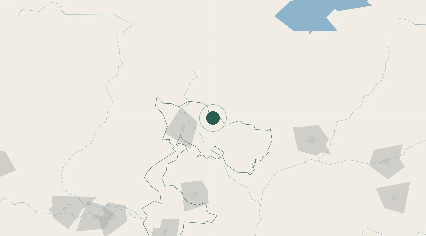
Nearby Logistics Neighbours

Cities
  1. 1Chuchungsa8 km
  2. 2Pendenling29 km
  3. 3Yangphelthang30 km
  4. 4Nyonpaling31 km
  5. 5Phuentsholing45 km
Nearest neighbours — logibook spatial index (haversine) over the source coordinates
Ports
  1. 1Calcutta487 km
  2. 2Mongla498 km
  3. 3Haldia Port550 km
  4. 4Chittagong588 km
  5. 5Dhamra705 km
Nearest neighbours — logibook spatial index (haversine) over the source coordinates
Airports
  1. 1Hashimara Air Force Station50 km
  2. 2Bagdogra Airport63 km
  3. 3Paro International Airport75 km
  4. 4Bhadrapur Airport91 km
  5. 5Saidpur Airport127 km
Nearest neighbours — logibook spatial index (haversine) over the source coordinates
Trade Zones
  1. 1Dhamdum Industrial Park16 km
  2. 2Debiganj Economic Zone: Sujon88 km
  3. 3Panchagarh Economic Zone88 km
  4. 4Nilphamari Economic Zone109 km
  5. 5Uttara Export Processing Zone116 km
Nearest neighbours — logibook spatial index (haversine) over the source coordinates
DatabookThe Record of Consolidated Knowledge
India beyond logistics?
Browse databook

All Sources

LocationsUN/LOCODE
UN/LOCODE — free
Portsthe NGA World Port Index
Public domain (US gov)
AirportsOurAirports
Public domain
Trade Zonesthe World Bank SEZ database
CC BY 4.0
Trade ZonesOpen Zone Map
CC BY
← India locations