Free Trade Zone · Dominican Republic

Parque Industrial y de Servicios Yaque Active
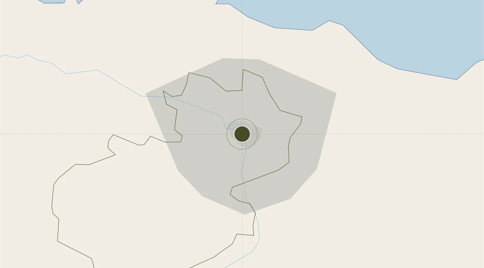
19.4699°, -70.7150°
2 ha
Zone area
36.7 km
Nearest port
13.7 km
Nearest airport

Gateway access

Nearest neighbours — logibook spatial index (haversine) over the source coordinates

Zone profile

Zone type
Free Trade Zone
Open Zone Map
Region
Santiago
Open Zone Map
Status
Active
Open Zone Map
Management
Private
Open Zone Map
Operator
Parque Industrial Y De Servicios Yaque, S.A.
Open Zone Map
Legal framework
Law 8-90, Amended in December 2007
Open Zone Map

Location

Location of ozm-1822
Natural Earth 10m (public domain) · Santiago · ozm-1822 · 19.47, -70.72GoogleOSMYandex

Nearby Logistics Neighbours

Ports
  1. 1Puerto Plata37 km
  2. 2Amber Cove41 km
  3. 3Pepillo Salcedo111 km
  4. 4Manzanillo112 km
  5. 5Sanchez118 km
Nearest neighbours — logibook spatial index (haversine) over the source coordinates
Airports
  1. 1Cibao International Airport14 km
  2. 2Gregorio Luperon International Airport35 km
  3. 3Samaná El Catey International Airport105 km
  4. 4La Isabela International Airport126 km
  5. 5Maria Montez International Airport142 km
Nearest neighbours — logibook spatial index (haversine) over the source coordinates
Cities
  1. 1Hato del Yaque5 km
  2. 2Licey9 km
  3. 3Villa Gonzalez10 km
  4. 4Moca23 km
  5. 5Jarabacoa40 km
Nearest neighbours — logibook spatial index (haversine) over the source coordinates
DatabookThe Record of Consolidated Knowledge
Dominican Republic beyond logistics?
Browse databook

All Sources

Trade ZonesOpen Zone Map
CC BY
Portsthe NGA World Port Index
Public domain (US gov)
AirportsOurAirports
Public domain
LocationsUN/LOCODE
UN/LOCODE — free
← Dominican Republic trade zones