Export Processing Zone · Dominican Republic

Zona Franca Industrial SAG Active
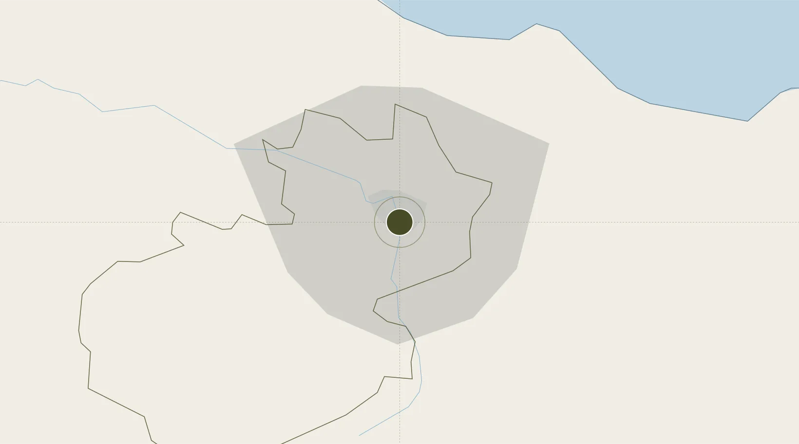
19.4512°, -70.7042°
1 ha
Zone area
38.8 km
Nearest port
11.7 km
Nearest airport

Gateway access

Nearest neighbours — logibook spatial index (haversine) over the source coordinates

Zone profile

Zone type
Export Processing Zone
Open Zone Map
Region
Santiago
Open Zone Map
Status
Active
Open Zone Map
Management
Private
Open Zone Map
Operator
Zona Franca Industrial Sag Inc
Open Zone Map
Legal framework
Law 8-90, Amended in December 2007
Open Zone Map

Location

Location of ozm-1764
Natural Earth 10m (public domain) · Santiago · ozm-1764 · 19.45, -70.70GoogleOSMYandex

Nearby Logistics Neighbours

Ports
  1. 1Puerto Plata39 km
  2. 2Amber Cove43 km
  3. 3Pepillo Salcedo113 km
  4. 4Manzanillo114 km
  5. 5Sanchez117 km
Nearest neighbours — logibook spatial index (haversine) over the source coordinates
Airports
  1. 1Cibao International Airport12 km
  2. 2Gregorio Luperon International Airport37 km
  3. 3Samaná El Catey International Airport103 km
  4. 4La Isabela International Airport124 km
  5. 5Maria Montez International Airport140 km
Nearest neighbours — logibook spatial index (haversine) over the source coordinates
Cities
  1. 1Hato del Yaque7 km
  2. 2Licey7 km
  3. 3Villa Gonzalez12 km
  4. 4Moca21 km
  5. 5Jarabacoa38 km
Nearest neighbours — logibook spatial index (haversine) over the source coordinates
DatabookThe Record of Consolidated Knowledge
Dominican Republic beyond logistics?
Browse databook

All Sources

Trade ZonesOpen Zone Map
CC BY
Portsthe NGA World Port Index
Public domain (US gov)
AirportsOurAirports
Public domain
LocationsUN/LOCODE
UN/LOCODE — free
← Dominican Republic trade zones