Diversified Zone · Belarus

Free Economic Zone Gomel-Raton Active
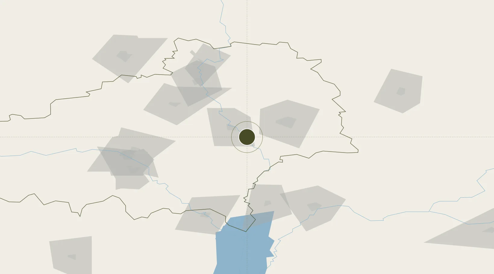
52.2702°, 30.5526°
4,000 ha
Zone area
600.5 km
Nearest port
42.5 km
Nearest airport

Gateway access

Nearest neighbours — logibook spatial index (haversine) over the source coordinates

Zone profile

Zone type
Diversified Zone
Open Zone Map
Region
Gomel
Open Zone Map
Status
Active
Open Zone Map
Management
Public
Open Zone Map
Operator
FEZ Gomel-Raton Administration
Open Zone Map
Legal framework
Law No. 213-3, No. 1817 of 17.12.2001, No. 1520 of 20.10.2010.
Open Zone Map

Location

Location of ozm-176
Natural Earth 10m (public domain) · Gomel · ozm-176 · 52.27, 30.55GoogleOSMYandex

Nearby Logistics Neighbours

Ports
  1. 1Mykolayiv601 km
  2. 2Port Oktyabrsk613 km
  3. 3Yuzhnyy631 km
  4. 4Odesa644 km
  5. 5Kherson646 km
Nearest neighbours — logibook spatial index (haversine) over the source coordinates
Airports
  1. 1Gomel Airport43 km
  2. 2Babruisk Air Base130 km
  3. 3Nizhyn Air Base160 km
  4. 4Hostomel Airport187 km
  5. 5Mogilev Airport190 km
Nearest neighbours — logibook spatial index (haversine) over the source coordinates
Cities
  1. 1Rechytsa14 km
  2. 2Khoyniki59 km
  3. 3Ripky64 km
  4. 4Svetlogorsk68 km
  5. 5Zlynka82 km
Nearest neighbours — logibook spatial index (haversine) over the source coordinates
Trade Zones
  1. 1Slavutych Special Economic Zone84 km
  2. 2Free Economic Zone Mogiliov143 km
  3. 3Bremino-Orsha Special Economic Zone241 km
  4. 4Great Stone Industrial Park (China Belarus Industrial Park)250 km
  5. 5Belarus High Technologies Park255 km
Nearest neighbours — logibook spatial index (haversine) over the source coordinates
DatabookThe Record of Consolidated Knowledge
Belarus beyond logistics?
Browse databook

All Sources

Trade ZonesOpen Zone Map
CC BY
Portsthe NGA World Port Index
Public domain (US gov)
AirportsOurAirports
Public domain
LocationsUN/LOCODE
UN/LOCODE — free
← Belarus trade zones