Runway & Layout

Airport Specifications
ICAO code
UKRN
Airport class
Medium airport
Scheduled service
No
Served city
Nizhyn
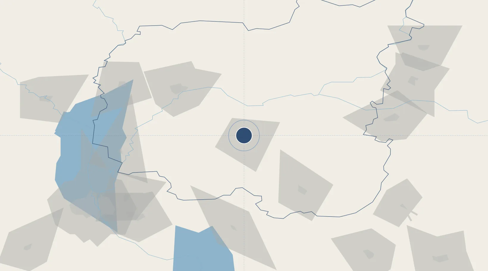
Location
Nearby Logistics Neighbours
Airports
- 1Boryspil International Airport108 km
- 2Ihor Sikorsky Kyiv International Airport (Zhuliany)126 km
- 3Hostomel Airport130 km
- 4Gomel Airport170 km
- 5Cherkasy International Airport186 km
Cities
- 1Nizhyn4 km
- 2Ichnya44 km
- 3Bobrovitsa52 km
- 4Mena53 km
- 5Chernihiv61 km
Ports
- 1Mykolayiv460 km
- 2Port Oktyabrsk473 km
- 3Kherson500 km
- 4Yuzhnyy503 km
- 5Odesa519 km
Trade Zones
DatabookThe Record of Consolidated Knowledge
Ukraine beyond logistics?