UN/LOCODE hub · Belarus
BYSVE

Svetlogorsk

52.6333°, 29.7500°
62,602
Population
2
Transport functions

Transport Functions

Rail
Road
UN/LOCODE

Hub Profile

Place type
Provincial seat
GeoNames
Region
Homyel’ Voblasc’
GeoNames
Population
62,602
GeoNames
Time zone
Europe/Minsk
GeoNames
Elevation
142 m
GeoNames

Location

Location of BYSVE
Natural Earth 10m (public domain) · Homyel’ Voblasc’ · BYSVE · 52.63, 29.75GoogleOSMYandex

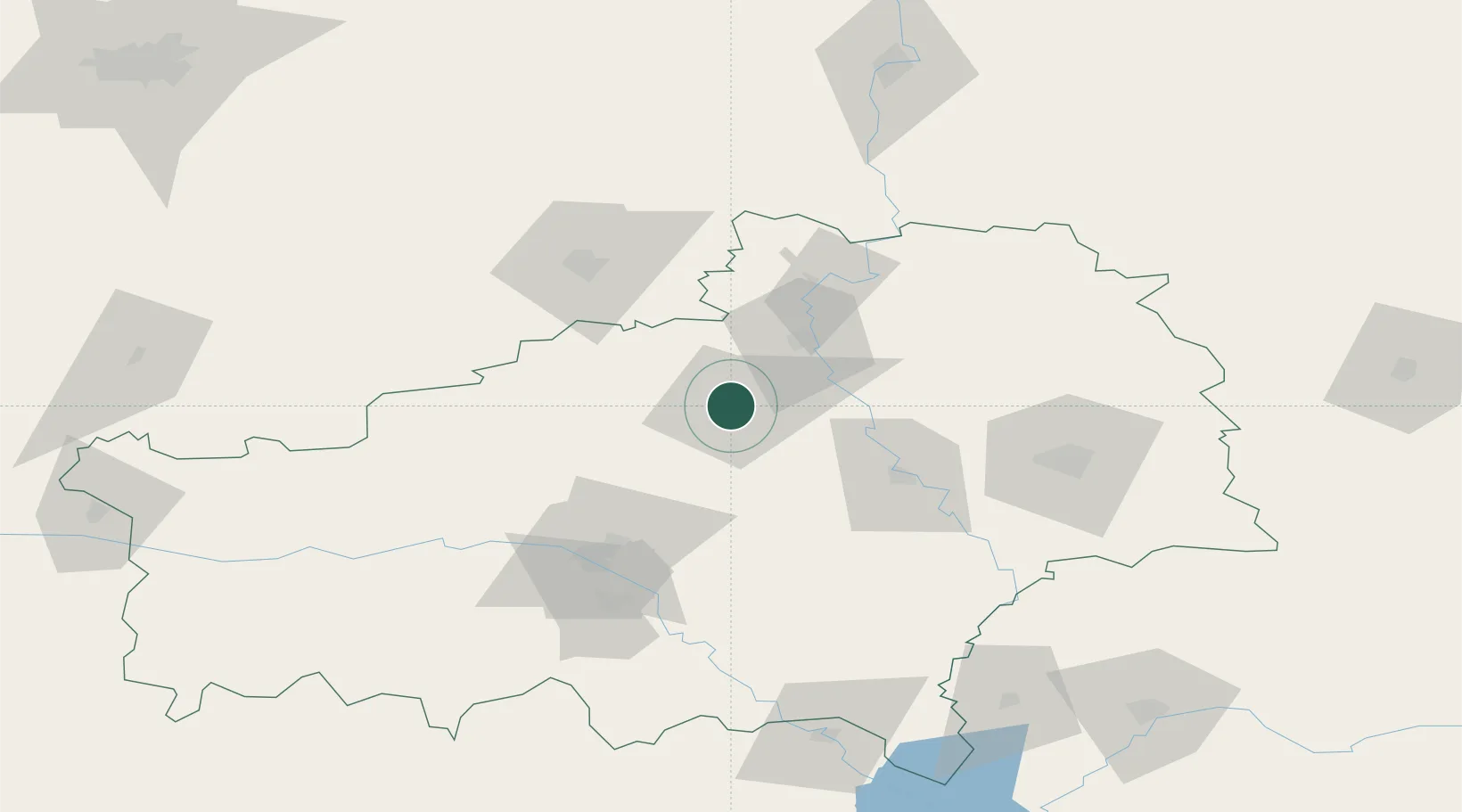
Nearby Logistics Neighbours

Cities
  1. 1Rechytsa54 km
  2. 2Khoyniki85 km
  3. 3Starye Dorogi130 km
  4. 4Ripky130 km
  5. 5Zlynka136 km
Nearest neighbours — logibook spatial index (haversine) over the source coordinates
Ports
  1. 1Riga601 km
  2. 2Mykolayiv652 km
  3. 3Salacgriva659 km
  4. 4Port Oktyabrsk664 km
  5. 5Yuzhnyy677 km
Nearest neighbours — logibook spatial index (haversine) over the source coordinates
Airports
  1. 1Babruisk Air Base64 km
  2. 2Gomel Airport86 km
  3. 3Mogilev Airport149 km
  4. 4Minsk National Airport180 km
  5. 5Orsha Airport - Balbasovo Air Base204 km
Nearest neighbours — logibook spatial index (haversine) over the source coordinates
Trade Zones
  1. 1Free Economic Zone Gomel-Raton68 km
  2. 2Free Economic Zone Mogiliov106 km
  3. 3Slavutych Special Economic Zone141 km
  4. 4Great Stone Industrial Park (China Belarus Industrial Park)184 km
  5. 5Belarus High Technologies Park187 km
Nearest neighbours — logibook spatial index (haversine) over the source coordinates
DatabookThe Record of Consolidated Knowledge
Belarus beyond logistics?
Browse databook

All Sources

LocationsUN/LOCODE
UN/LOCODE — free
LocationsGeoNames
CC BY 4.0
Portsthe NGA World Port Index
Public domain (US gov)
AirportsOurAirports
Public domain
Trade Zonesthe World Bank SEZ database
CC BY 4.0
Trade ZonesOpen Zone Map
CC BY
← Belarus locations