Transport Functions
Multimodal
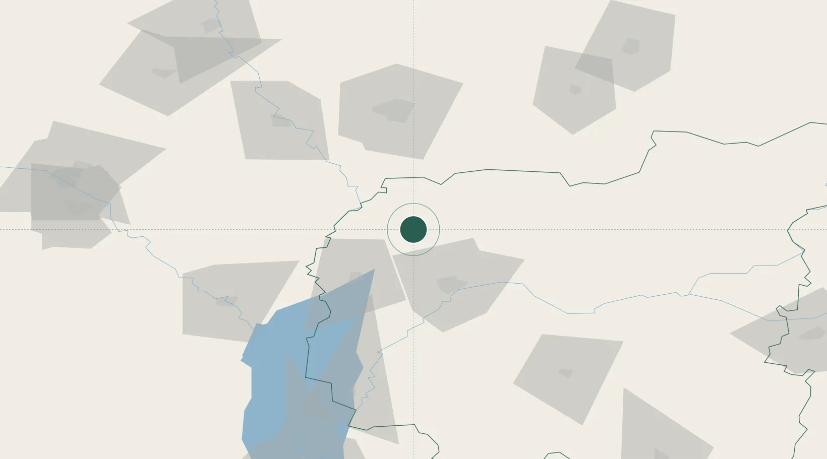
Hub Profile
Place type
Populated place
Region
Chernihiv
Population
6,643
Time zone
Europe/Kyiv
Elevation
145 m
Location
Nearby Logistics Neighbours
Ports
- 1Mykolayiv543 km
- 2Port Oktyabrsk556 km
- 3Yuzhnyy578 km
- 4Kherson587 km
- 5Odesa592 km
Airports
- 1Gomel Airport81 km
- 2Nizhyn Air Base96 km
- 3Hostomel Airport147 km
- 4Ihor Sikorsky Kyiv International Airport (Zhuliany)162 km
- 5Boryspil International Airport162 km
DatabookThe Record of Consolidated Knowledge
Ukraine beyond logistics?