Diversified Zone · Belarus

Bremino-Orsha Special Economic Zone Active
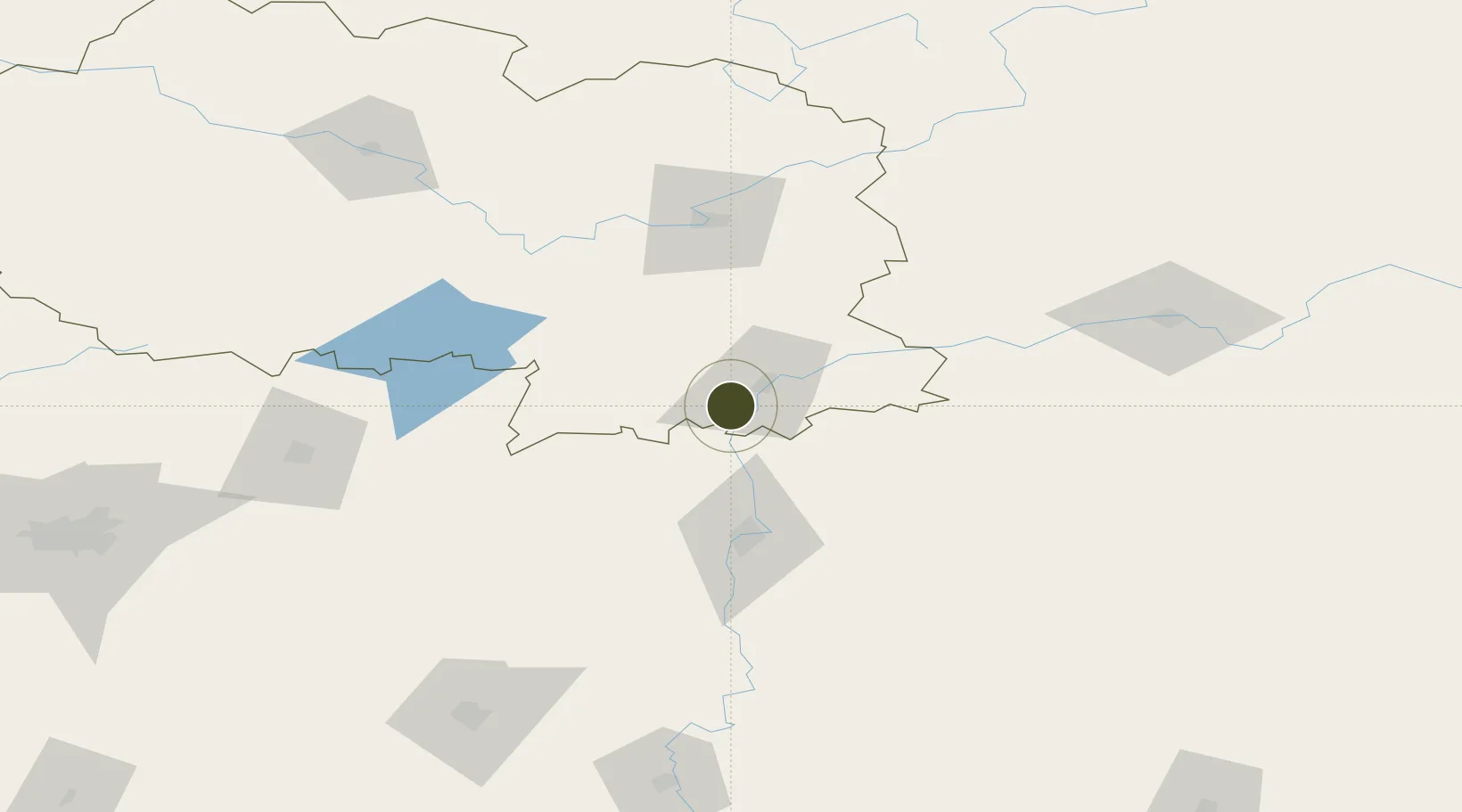
54.4277°, 30.2814°
230 ha
Zone area
478.0 km
Nearest port
1.7 km
Nearest airport

Gateway access

Nearest neighbours — logibook spatial index (haversine) over the source coordinates

Zone profile

Zone type
Diversified Zone
Open Zone Map
Region
Vitebsk
Open Zone Map
Status
Active
Open Zone Map
Management
Public-Private Partnership
Open Zone Map
Operator
Bremino Group, LLC.
Open Zone Map
Legal framework
Law No. 213-3, No. 1817 of 17.12.2001, No. 1520 of 20.10.2010.
Open Zone Map

Location

Location of ozm-172
Natural Earth 10m (public domain) · Vitebsk · ozm-172 · 54.43, 30.28GoogleOSMYandex

Nearby Logistics Neighbours

Ports
  1. 1Riga478 km
  2. 2Salacgriva517 km
  3. 3Parnu566 km
  4. 4Sillamae577 km
  5. 5Ust Luga595 km
Nearest neighbours — logibook spatial index (haversine) over the source coordinates
Airports
  1. 1Orsha Airport - Balbasovo Air Base2 km
  2. 2Mogilev Airport54 km
  3. 3Vitebsk Vostochny Airport78 km
  4. 4Smolensk North Airport121 km
  5. 5Shatalovo Air Base142 km
Nearest neighbours — logibook spatial index (haversine) over the source coordinates
Cities
  1. 1Orsha11 km
  2. 2Kokhanovo20 km
  3. 3Gorodok115 km
  4. 4Borisov117 km
  5. 5Barysaw119 km
Nearest neighbours — logibook spatial index (haversine) over the source coordinates
Trade Zones
  1. 1Free Economic Zone Vitebsk91 km
  2. 2Free Economic Zone Mogiliov99 km
  3. 3Great Stone Industrial Park (China Belarus Industrial Park)162 km
  4. 4Belarus High Technologies Park212 km
  5. 5Free Economic Zone Minsk216 km
Nearest neighbours — logibook spatial index (haversine) over the source coordinates
DatabookThe Record of Consolidated Knowledge
Belarus beyond logistics?
Browse databook

All Sources

Trade ZonesOpen Zone Map
CC BY
Portsthe NGA World Port Index
Public domain (US gov)
AirportsOurAirports
Public domain
LocationsUN/LOCODE
UN/LOCODE — free
← Belarus trade zones