Transport Functions
Rail
Road
Border Crossing
Hub Profile
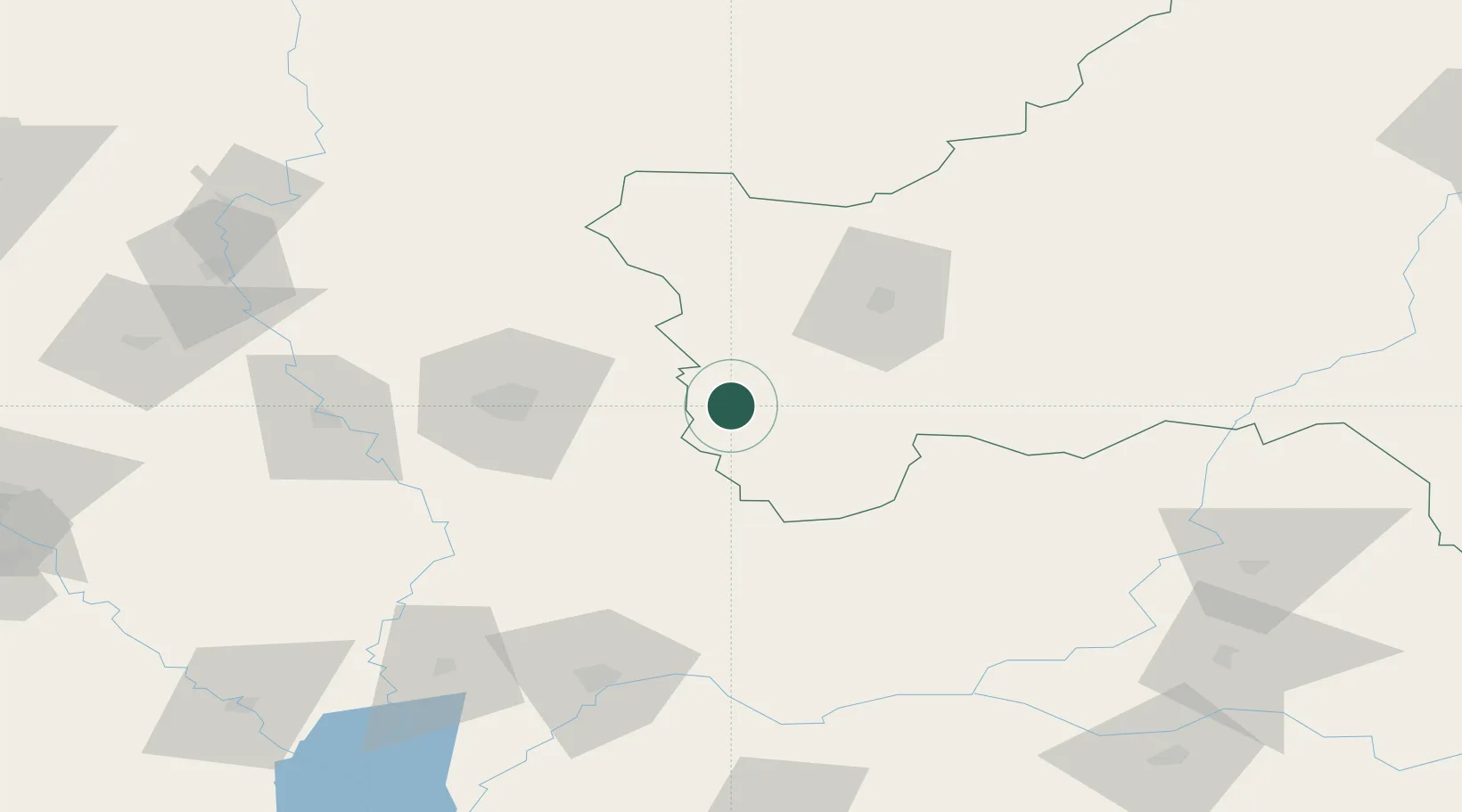
Place type
Provincial seat
Region
Bryansk Oblast
Population
5,260
Time zone
Europe/Moscow
Elevation
154 m
Location
Nearby Logistics Neighbours
Cities
- 1Novozybkov19 km
- 2Ripky82 km
- 3Rechytsa91 km
- 4Volynskiy102 km
- 5Mena105 km
Ports
- 1Mykolayiv608 km
- 2Port Oktyabrsk621 km
- 3Kherson648 km
- 4Yuzhnyy649 km
- 5Odesa664 km
Airports
- 1Gomel Airport50 km
- 2Nizhyn Air Base148 km
- 3Seshcha Air Base180 km
- 4Babruisk Air Base187 km
- 5Bryansk International Airport187 km
Trade Zones
DatabookThe Record of Consolidated Knowledge
Russia beyond logistics?