Medium airport · Belarus

Babruisk Air BaseUMNB
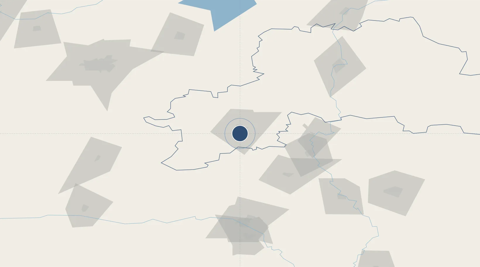
53.1050°, 29.2050°
9,836 ft
Longest runway
1
Runways
502 ft
Elevation

Runway & Layout

Babruisk Air Base runway & taxiway layout
Runway & taxiway layout — OpenStreetMap (ODbL) / OurAirports

Runways · 1

RunwayDimensions SurfaceTrue headingLit
08/26 9,836 × 164ft Concrete
OurAirports

Airport Specifications

ICAO code
UMNB
OurAirports
Airport class
Medium airport
OurAirports
Scheduled service
No
OurAirports
Runway surface
Concrete
OurAirports
Served city
Babruisk
OurAirports

Location

Location of UMNB
Natural Earth 10m (public domain) · Mogilev · UMNB · 53.10, 29.20GoogleOSMYandex

Nearby Logistics Neighbours

Airports
  1. 1Mogilev Airport111 km
  2. 2Minsk National Airport116 km
  3. 3Gomel Airport138 km
  4. 4Orsha Airport - Balbasovo Air Base165 km
  5. 5Baranavichi Air Base211 km
Nearest neighbours — logibook spatial index (haversine) over the source coordinates
Cities
  1. 1Svetlogorsk64 km
  2. 2Starye Dorogi70 km
  3. 3Rechytsa116 km
  4. 4Zhodino124 km
  5. 5Gatovo129 km
Nearest neighbours — logibook spatial index (haversine) over the source coordinates
Ports
  1. 1Riga537 km
  2. 2Salacgriva595 km
  3. 3Parnu657 km
  4. 4Virtsu704 km
  5. 5Roomassaare706 km
Nearest neighbours — logibook spatial index (haversine) over the source coordinates
Trade Zones
  1. 1Free Economic Zone Mogiliov82 km
  2. 2Great Stone Industrial Park (China Belarus Industrial Park)120 km
  3. 3Belarus High Technologies Park130 km
  4. 4Free Economic Zone Gomel-Raton130 km
  5. 5Free Economic Zone Minsk134 km
Nearest neighbours — logibook spatial index (haversine) over the source coordinates
DatabookThe Record of Consolidated Knowledge
Belarus beyond logistics?
Browse databook

All Sources

AirportsOurAirports
Public domain
Portsthe NGA World Port Index
Public domain (US gov)
LocationsUN/LOCODE
UN/LOCODE — free
Trade Zonesthe World Bank SEZ database
CC BY 4.0
Trade ZonesOpen Zone Map
CC BY
InfrastructureOpenStreetMap
ODbL 1.0
← Belarus airports