Medium airport · Ukraine

Hostomel AirportUKKM
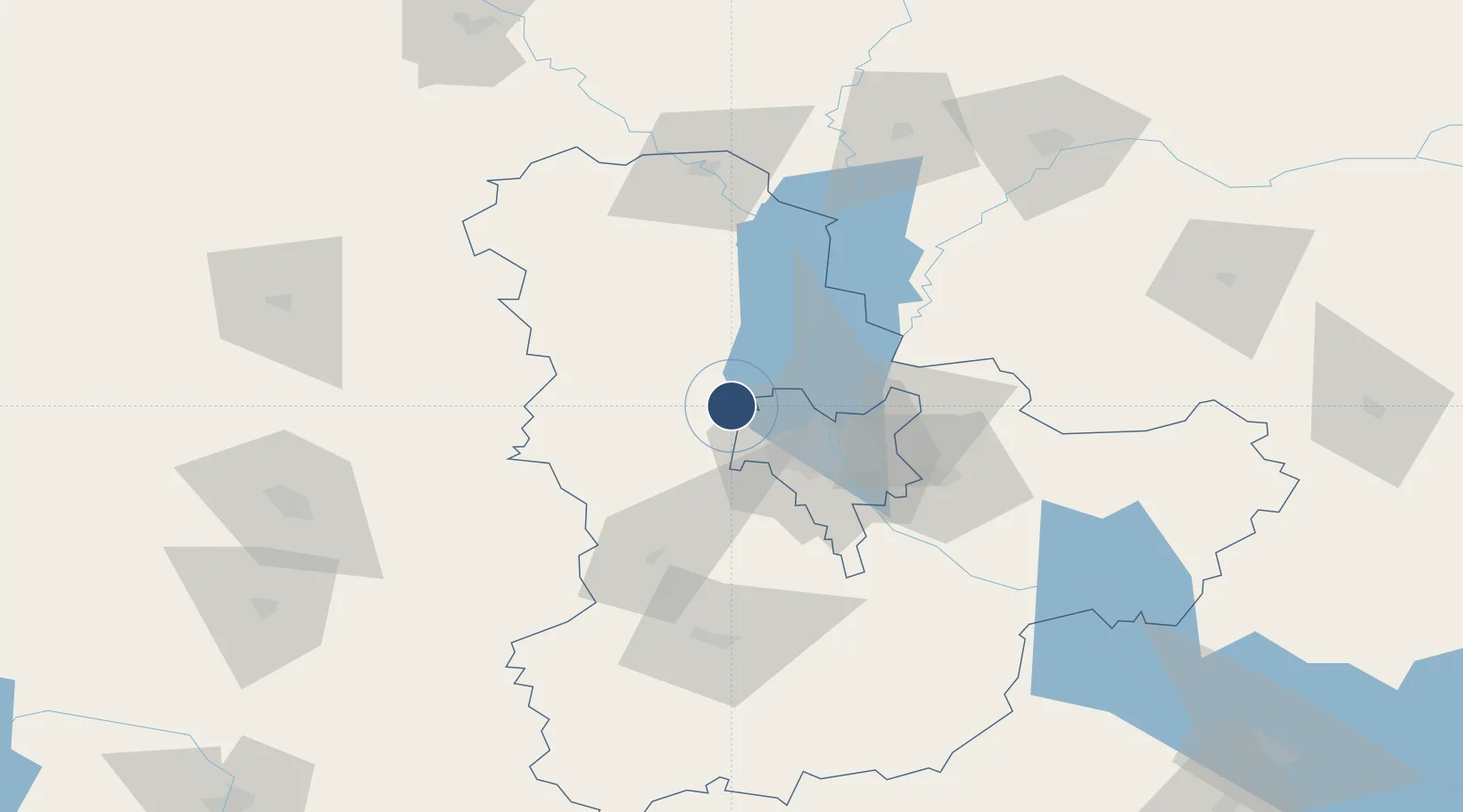
50.6035°, 30.1919°
11,483 ft
Longest runway
1
Runways
517 ft
Elevation

Runway & Layout

Hostomel Airport runway & taxiway layout
Runway & taxiway layout — OpenStreetMap (ODbL) / OurAirports

Radio Frequencies

TWR
118.15 MHz
OurAirports

Navaids

C NDB Antonov 257 kHz
GO NDB Antonov 590 kHz
LC NDB Antonov 534 kHz
O NDB Antonov 286 kHz
OurAirports

Runways · 1

RunwayDimensions SurfaceTrue headingLit
15/33 11,483 × 184ft Concrete 154°
OurAirports

Airport Specifications

ICAO code
UKKM
OurAirports
Airport class
Medium airport
OurAirports
Scheduled service
No
OurAirports
Runway surface
Concrete
OurAirports
Served city
Kiev
OurAirports

Location

Location of UKKM
Natural Earth 10m (public domain) · Kiev · UKKM · 50.60, 30.19GoogleOSMYandex

Nearby Logistics Neighbours

Airports
  1. 1Ihor Sikorsky Kyiv International Airport (Zhuliany)29 km
  2. 2Boryspil International Airport57 km
  3. 3Bila Tserkva Air Base91 km
  4. 4Ozerne Air Base114 km
  5. 5Nizhyn Air Base130 km
Nearest neighbours — logibook spatial index (haversine) over the source coordinates
Cities
  1. 1Kyiv29 km
  2. 2Boyarka33 km
  3. 3Dudarkov56 km
  4. 4Fastov63 km
  5. 5Bobrovitsa84 km
Nearest neighbours — logibook spatial index (haversine) over the source coordinates
Ports
  1. 1Mykolayiv427 km
  2. 2Port Oktyabrsk438 km
  3. 3Yuzhnyy449 km
  4. 4Odesa460 km
  5. 5Kherson477 km
Nearest neighbours — logibook spatial index (haversine) over the source coordinates
Trade Zones
  1. 1Slavutych Special Economic Zone109 km
  2. 2Free Economic Zone Gomel-Raton187 km
  3. 3Free Enterprise Zone- Otaci Business Park297 km
  4. 4Free Economic Zone Mogiliov327 km
  5. 5Free International Airport Mărculești337 km
Nearest neighbours — logibook spatial index (haversine) over the source coordinates
DatabookThe Record of Consolidated Knowledge
Ukraine beyond logistics?
Browse databook

All Sources

AirportsOurAirports
Public domain
Portsthe NGA World Port Index
Public domain (US gov)
LocationsUN/LOCODE
UN/LOCODE — free
Trade Zonesthe World Bank SEZ database
CC BY 4.0
Trade ZonesOpen Zone Map
CC BY
InfrastructureOpenStreetMap
ODbL 1.0
← Ukraine airports