Specialized Zone · Belarus

Belarus High Technologies Park Active
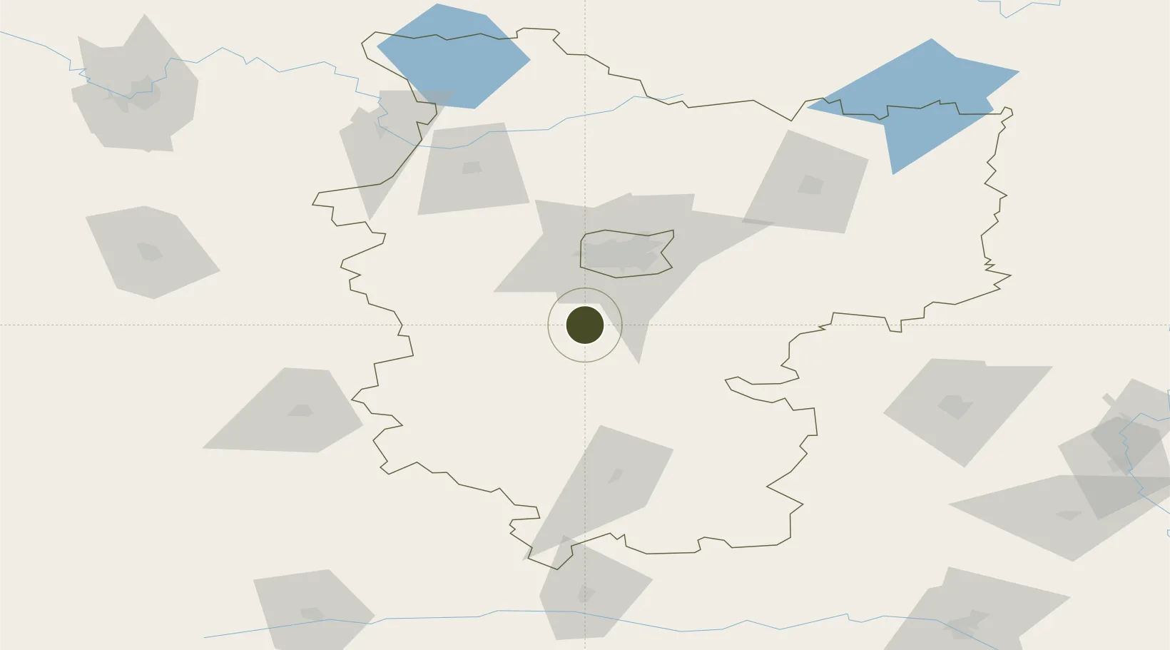
53.5538°, 27.4056°
56 ha
Zone area
431.7 km
Nearest port
55.9 km
Nearest airport

Gateway access

Nearest neighbours — logibook spatial index (haversine) over the source coordinates

Zone profile

Zone type
Specialized Zone
Open Zone Map
Specialization
Tech
Open Zone Map
Region
Minsk
Open Zone Map
Status
Active
Open Zone Map
Management
Public
Open Zone Map
Operator
HTP Administration
Open Zone Map
Legal framework
Decree of the President of the Republic of Belarus of December 21, 2017 No. 8 “On the development of the digital economy”
Open Zone Map

Location

Location of ozm-180
Natural Earth 10m (public domain) · Minsk · ozm-180 · 53.55, 27.41GoogleOSMYandex

Nearby Logistics Neighbours

Ports
  1. 1Riga432 km
  2. 2Kaliningrad469 km
  3. 3Klaipeda471 km
  4. 4Butinge Oil Terminal497 km
  5. 5Salacgriva499 km
Nearest neighbours — logibook spatial index (haversine) over the source coordinates
Airports
  1. 1Minsk National Airport56 km
  2. 2Baranavichi Air Base103 km
  3. 3Babruisk Air Base130 km
  4. 4Mogilev Airport182 km
  5. 5Vilnius International Airport183 km
Nearest neighbours — logibook spatial index (haversine) over the source coordinates
Cities
  1. 1Gatovo29 km
  2. 2Minsk39 km
  3. 3Starye Dorogi60 km
  4. 4Kletsk77 km
  5. 5Lahoysk78 km
Nearest neighbours — logibook spatial index (haversine) over the source coordinates
Trade Zones
  1. 1Free Economic Zone Minsk5 km
  2. 2Great Stone Industrial Park (China Belarus Industrial Park)53 km
  3. 3Free Economic Zone Mogiliov185 km
  4. 4Bremino-Orsha Special Economic Zone212 km
  5. 5Free Economic Zone Grodnoinvest237 km
Nearest neighbours — logibook spatial index (haversine) over the source coordinates
DatabookThe Record of Consolidated Knowledge
Belarus beyond logistics?
Browse databook

All Sources

Trade ZonesOpen Zone Map
CC BY
Portsthe NGA World Port Index
Public domain (US gov)
AirportsOurAirports
Public domain
LocationsUN/LOCODE
UN/LOCODE — free
← Belarus trade zones