Free Trade Zone · Belarus

Great Stone Industrial Park (China Belarus Industrial Park) Active
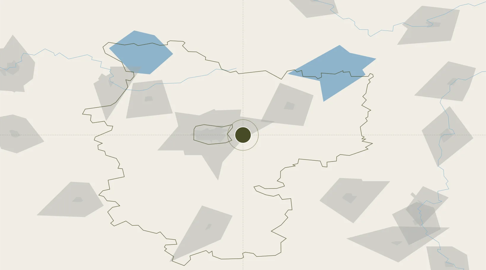
53.8949°, 27.9614°
11,240 ha
Zone area
417.9 km
Nearest port
5.2 km
Nearest airport

Gateway access

Nearest neighbours — logibook spatial index (haversine) over the source coordinates

Zone profile

Zone type
Free Trade Zone
Open Zone Map
Region
Minsk
Open Zone Map
Status
Active
Open Zone Map
Management
Public-Private Partnership
Open Zone Map
Operator
Industrial Park Administration of Belarus, China-Belarus Joint-Stock Closed Company
Open Zone Map
Legal framework
Decree of the Belarusian president No. 253 on the Chinа-Belarus Industrial Park
Open Zone Map

Location

Location of ozm-179
Natural Earth 10m (public domain) · Minsk · ozm-179 · 53.89, 27.96GoogleOSMYandex

Nearby Logistics Neighbours

Ports
  1. 1Riga418 km
  2. 2Salacgriva479 km
  3. 3Klaipeda483 km
  4. 4Kaliningrad493 km
  5. 5Butinge Oil Terminal507 km
Nearest neighbours — logibook spatial index (haversine) over the source coordinates
Airports
  1. 1Minsk National Airport5 km
  2. 2Babruisk Air Base120 km
  3. 3Mogilev Airport140 km
  4. 4Baranavichi Air Base154 km
  5. 5Orsha Airport - Balbasovo Air Base164 km
Nearest neighbours — logibook spatial index (haversine) over the source coordinates
Cities
  1. 1Gatovo26 km
  2. 2Minsk27 km
  3. 3Zhodino34 km
  4. 4Lahoysk35 km
  5. 5Barysaw49 km
Nearest neighbours — logibook spatial index (haversine) over the source coordinates
Trade Zones
  1. 1Belarus High Technologies Park53 km
  2. 2Free Economic Zone Minsk57 km
  3. 3Free Economic Zone Mogiliov153 km
  4. 4Bremino-Orsha Special Economic Zone162 km
  5. 5Free Economic Zone Vitebsk211 km
Nearest neighbours — logibook spatial index (haversine) over the source coordinates
DatabookThe Record of Consolidated Knowledge
Belarus beyond logistics?
Browse databook

All Sources

Trade ZonesOpen Zone Map
CC BY
Portsthe NGA World Port Index
Public domain (US gov)
AirportsOurAirports
Public domain
LocationsUN/LOCODE
UN/LOCODE — free
← Belarus trade zones