Medium airport · Belarus
Mogilev AirportUMOO
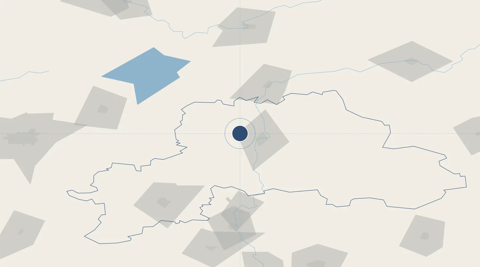
53.9549°, 30.0951°
8,422 ft
Longest runway
1
Runways
637 ft
Elevation
Runway & Layout

Radio Frequencies
APP
127.1 MHz
Navaids
CO NDB Mogilev 485 kHz
UF NDB Mogilev 485 kHz
Runways · 1
| Runway | Dimensions | Surface | True heading | Lit |
|---|---|---|---|---|
| 13/31 | 8,422 × 138ft | Asphalt | 137° | ✓ |
Airport Specifications
IATA code
MVQ
ICAO code
UMOO
Airport class
Medium airport
Scheduled service
Yes
Runway surface
Asphalt
Served city
Mogilev
Location
Nearby Logistics Neighbours
Airports
- 1Orsha Airport - Balbasovo Air Base56 km
- 2Babruisk Air Base111 km
- 3Vitebsk Vostochny Airport131 km
- 4Minsk National Airport135 km
- 5Smolensk North Airport158 km
Ports
- 1Riga504 km
- 2Salacgriva549 km
- 3Parnu602 km
- 4Sillamae625 km
- 5Ust Luga644 km
DatabookThe Record of Consolidated Knowledge
Belarus beyond logistics?