Diversified Zone · Belarus

Free Economic Zone Mogiliov Active
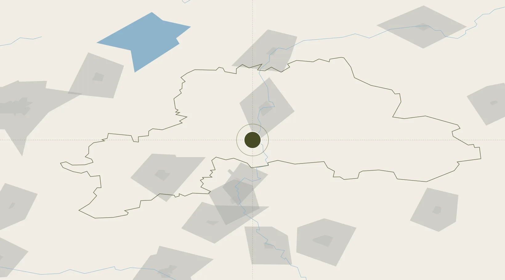
53.5418°, 30.2038°
3,339 ha
Zone area
541.2 km
Nearest port
46.5 km
Nearest airport

Gateway access

Nearest neighbours — logibook spatial index (haversine) over the source coordinates

Zone profile

Zone type
Diversified Zone
Open Zone Map
Region
Mogilev
Open Zone Map
Status
Active
Open Zone Map
Management
Public
Open Zone Map
Operator
State Institution "Administration of the Free Economic Zone" Mogilev"
Open Zone Map
Legal framework
Law No. 213-3, No. 1817 of 17.12.2001, No. 1520 of 20.10.2010.
Open Zone Map

Location

Location of ozm-175
Natural Earth 10m (public domain) · Mogilev · ozm-175 · 53.54, 30.20GoogleOSMYandex

Nearby Logistics Neighbours

Ports
  1. 1Riga541 km
  2. 2Salacgriva590 km
  3. 3Parnu645 km
  4. 4Sillamae672 km
  5. 5Ust Luga691 km
Nearest neighbours — logibook spatial index (haversine) over the source coordinates
Airports
  1. 1Mogilev Airport47 km
  2. 2Babruisk Air Base82 km
  3. 3Orsha Airport - Balbasovo Air Base100 km
  4. 4Gomel Airport125 km
  5. 5Minsk National Airport148 km
Nearest neighbours — logibook spatial index (haversine) over the source coordinates
Cities
  1. 1Kokhanovo104 km
  2. 2Svetlogorsk106 km
  3. 3Orsha107 km
  4. 4Kostyukovichi124 km
  5. 5Starye Dorogi129 km
Nearest neighbours — logibook spatial index (haversine) over the source coordinates
Trade Zones
  1. 1Bremino-Orsha Special Economic Zone99 km
  2. 2Free Economic Zone Gomel-Raton143 km
  3. 3Great Stone Industrial Park (China Belarus Industrial Park)153 km
  4. 4Belarus High Technologies Park185 km
  5. 5Free Economic Zone Minsk190 km
Nearest neighbours — logibook spatial index (haversine) over the source coordinates
DatabookThe Record of Consolidated Knowledge
Belarus beyond logistics?
Browse databook

All Sources

Trade ZonesOpen Zone Map
CC BY
Portsthe NGA World Port Index
Public domain (US gov)
AirportsOurAirports
Public domain
LocationsUN/LOCODE
UN/LOCODE — free
← Belarus trade zones