Transport Functions
Rail
Road
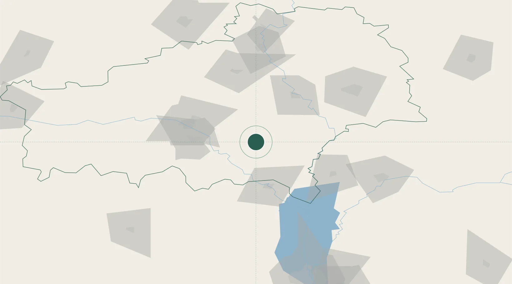
Hub Profile
Place type
Provincial seat
Region
Homyel’ Voblasc’
Population
13,167
Time zone
Europe/Minsk
Elevation
141 m
Location
Nearby Logistics Neighbours
Cities
- 1Rechytsa60 km
- 2Ripky77 km
- 3Svetlogorsk85 km
- 4Volynskiy101 km
- 5Chernihiv101 km
Ports
- 1Mykolayiv568 km
- 2Port Oktyabrsk579 km
- 3Yuzhnyy592 km
- 4Odesa603 km
- 5Kherson616 km
Airports
- 1Gomel Airport101 km
- 2Hostomel Airport143 km
- 3Babruisk Air Base145 km
- 4Nizhyn Air Base159 km
- 5Ihor Sikorsky Kyiv International Airport (Zhuliany)168 km
Trade Zones
DatabookThe Record of Consolidated Knowledge
Belarus beyond logistics?