Channel & Berth Profile
Pilotage, Tugs & Services
Pilotage compulsoryYES
Tug assistanceYES
Facilities & Capabilities
Container—
Ro-Ro—
Liquid bulk—
Dry bulk—
Oil terminal—
Break bulk—
Dry dock—
Repairs—
Bunkering—
Rail linkYES
Dangerous cargo—
ISPS security—
Harbour Specifications
Harbour size
Very Small
Harbour type
Coastal (Natural)
Shelter
Fair
Water body
Black Sea; North Atlantic Ocean
Overhead limit
Yes
Pilotage
Yes
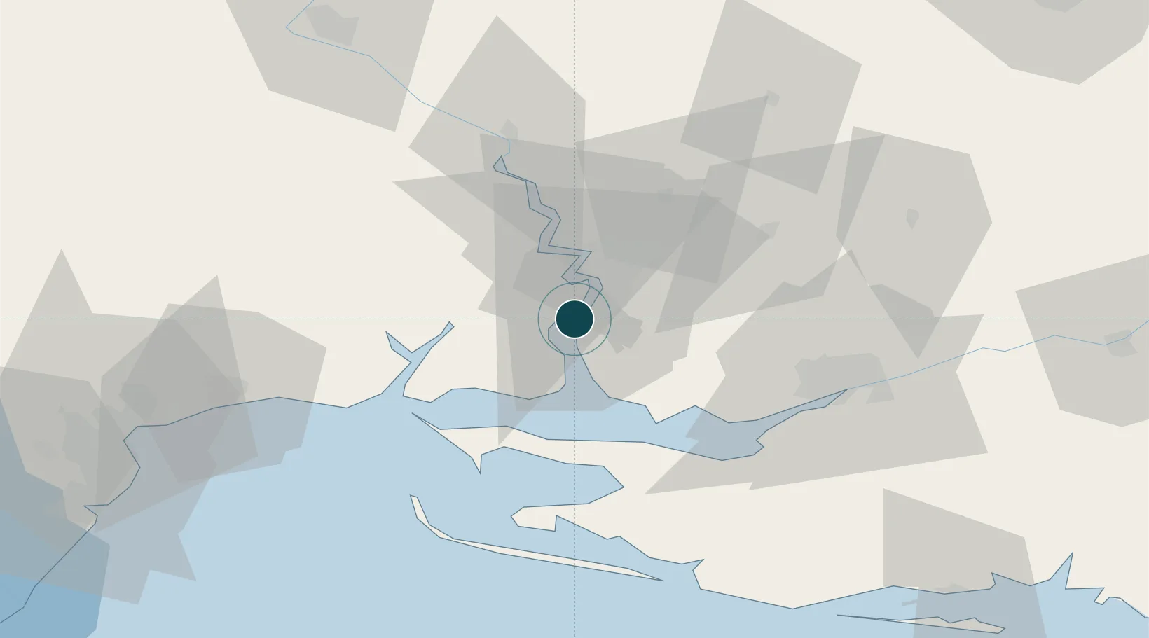
Location
Nearby Logistics Neighbours
Cities
- 1Mykolaiv12 km
- 2Mykolayiv16 km
- 3Ochakiv38 km
- 4Chernobayevka50 km
- 5Kherson57 km
Airports
DatabookThe Record of Consolidated Knowledge
Ukraine beyond logistics?