Transport Functions
Port
Rail
Road
Hub Profile
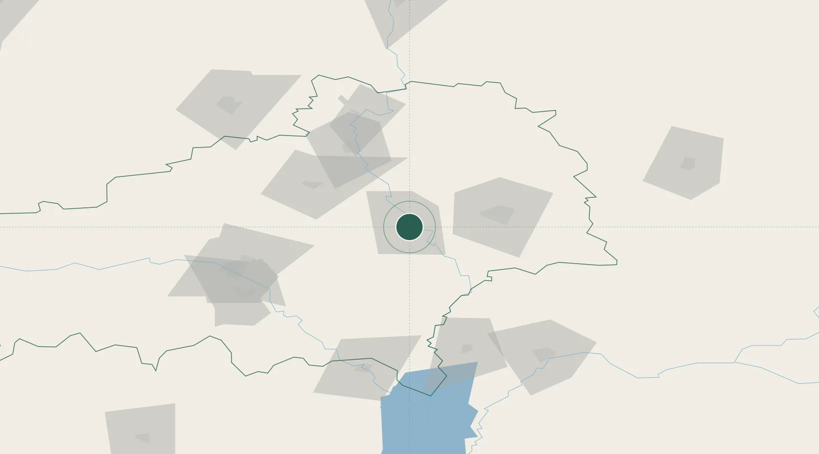
Place type
Provincial seat
Region
Homyel’ Voblasc’
Population
65,213
Time zone
Europe/Minsk
Elevation
128 m
Location
Nearby Logistics Neighbours
Cities
- 1Svetlogorsk54 km
- 2Khoyniki60 km
- 3Ripky77 km
- 4Zlynka91 km
- 5Novozybkov106 km
Ports
- 1Mykolayiv611 km
- 2Port Oktyabrsk623 km
- 3Yuzhnyy641 km
- 4Riga652 km
- 5Odesa653 km
Airports
- 1Gomel Airport46 km
- 2Babruisk Air Base116 km
- 3Nizhyn Air Base173 km
- 4Mogilev Airport180 km
- 5Hostomel Airport195 km
DatabookThe Record of Consolidated Knowledge
Belarus beyond logistics?