Medium airport · Belarus
Gomel AirportUMGG
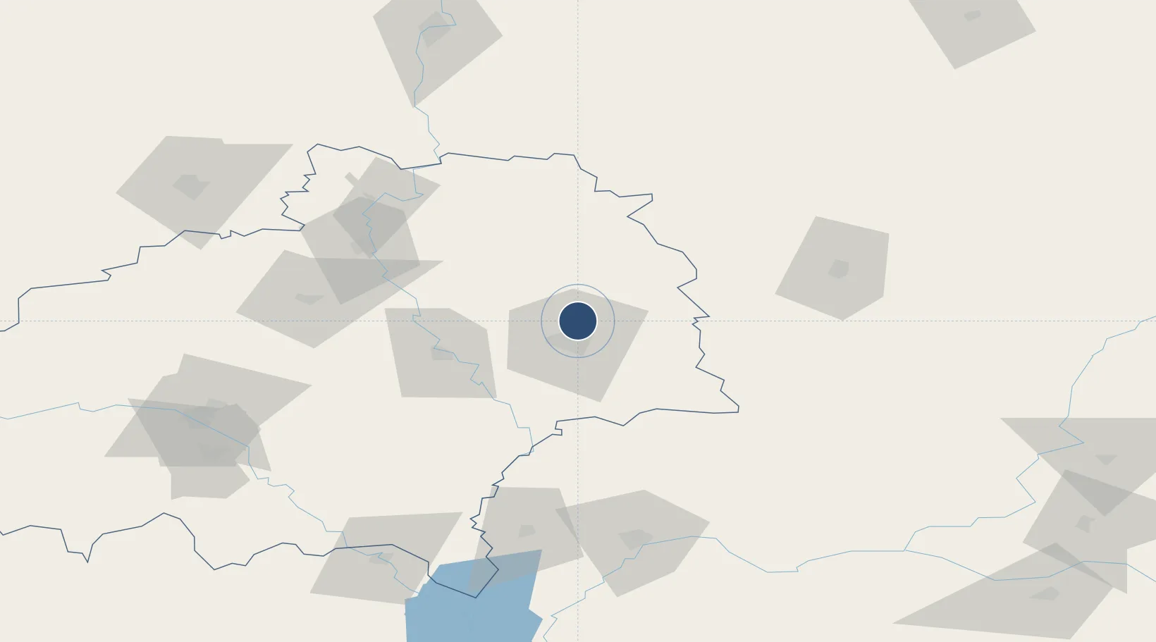
52.5270°, 31.0167°
8,428 ft
Longest runway
1
Runways
472 ft
Elevation
Runway & Layout

Radio Frequencies
TWR
118.1 MHz
APP
126.1 MHz
Navaids
GM NDB Gomel 247 kHz
GOL VOR-DME Gomel 113.10 MHz
MV NDB Gomel 247 kHz
Runways · 1
| Runway | Dimensions | Surface | True heading | Lit |
|---|---|---|---|---|
| 10/28 | 8,428 × 141ft | Asphalt | 112° | ✓ |
Airport Specifications
IATA code
GME
ICAO code
UMGG
Airport class
Medium airport
Scheduled service
Yes
Runway surface
Asphalt
Served city
Gomel
Location
Nearby Logistics Neighbours
Airports
- 1Babruisk Air Base138 km
- 2Mogilev Airport170 km
- 3Nizhyn Air Base170 km
- 4Seshcha Air Base204 km
- 5Orsha Airport - Balbasovo Air Base218 km
Cities
- 1Rechytsa46 km
- 2Zlynka50 km
- 3Novozybkov62 km
- 4Ripky81 km
- 5Svetlogorsk86 km
Ports
- 1Mykolayiv624 km
- 2Port Oktyabrsk637 km
- 3Yuzhnyy659 km
- 4Riga662 km
- 5Kherson667 km
DatabookThe Record of Consolidated Knowledge
Belarus beyond logistics?