Transport Functions
Rail
Road
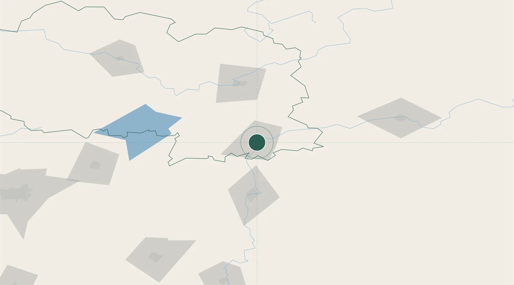
Hub Profile
Place type
Provincial seat
Region
Vitebsk
Population
102,759
Time zone
Europe/Minsk
Elevation
174 m
Location
Nearby Logistics Neighbours
Ports
- 1Riga479 km
- 2Salacgriva516 km
- 3Parnu564 km
- 4Sillamae571 km
- 5Ust Luga588 km
Airports
- 1Orsha Airport - Balbasovo Air Base9 km
- 2Mogilev Airport64 km
- 3Vitebsk Vostochny Airport70 km
- 4Smolensk North Airport111 km
- 5Shatalovo Air Base135 km
DatabookThe Record of Consolidated Knowledge
Belarus beyond logistics?