Transport Functions
Rail
Road
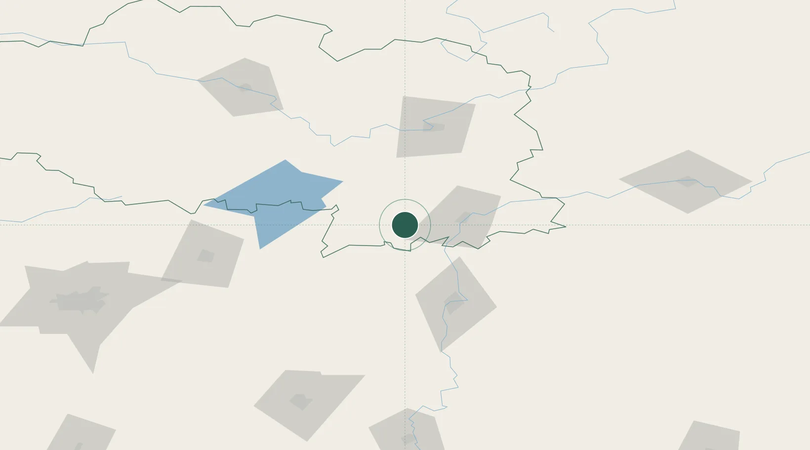
Hub Profile
Place type
Populated place
Region
Vitebsk
Population
4,300
Time zone
Europe/Minsk
Elevation
200 m
Location
Nearby Logistics Neighbours
Ports
- 1Riga460 km
- 2Salacgriva500 km
- 3Parnu551 km
- 4Sillamae568 km
- 5Ust Luga587 km
Airports
- 1Orsha Airport - Balbasovo Air Base21 km
- 2Mogilev Airport57 km
- 3Vitebsk Vostochny Airport77 km
- 4Smolensk North Airport137 km
- 5Minsk National Airport142 km
DatabookThe Record of Consolidated Knowledge
Belarus beyond logistics?