Seaport · Russia
Ust LugaRUULU
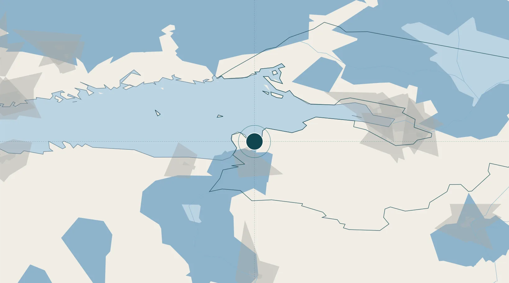
59.6667°, 28.3167°
3.4 m
Channel depth
1
Container terminals
25.2
Port liner connectivity
Channel & Berth Profile
Pilotage, Tugs & Services
Pilotage compulsoryYES
Pilotage availableYES
Tug assistanceYES
MedicalYES
Facilities & Capabilities
ContainerYES
Ro-RoYES
Liquid bulkYES
Dry bulkYES
Oil terminalNO
Break bulkYES
Dry dock—
RepairsNO
Bunkering—
Rail link—
Dangerous cargo—
ISPS security—
Harbour Specifications
Harbour size
Very Small
Harbour type
River (Natural)
Shelter
Fair
Water body
Gulf of Finland; Baltic Sea; North Atlantic Ocean
Pilotage
Yes
Liner Connectivity
25.2
PLSCI
Port Liner Shipping Connectivity Index for Ust Luga, as published by UNCTAD for the latest available quarter. Higher values indicate stronger scheduled liner-shipping integration.
Shown relative to the highest per-port PLSCI in the dataset (1,657.9).
Location
Container Terminals · 1
UST-LUGA CONTAINER TERMINAL (ULCT)
ULCT GLOBAL PORTS
Nearby Logistics Neighbours
Ports
- 1Sillamae42 km
- 2Primorsk80 km
- 3Lomonosov86 km
- 4Kronshtadt89 km
- 5Kunda101 km
Cities
- 1Narva-Jõesuu Sadam27 km
- 2Suur-Lootsi27 km
- 3Narva Linnasadam32 km
- 4Narva32 km
- 5Narva Kulgu Sadam36 km
Airports
- 1Pribylovo Naval Air Base91 km
- 2Smuravyovo Air Base96 km
- 3Pulkovo Airport110 km
- 4Pushkin Airport114 km
- 5Levashovo Air Base115 km
Trade Zones
DatabookThe Record of Consolidated Knowledge
Russia beyond logistics?