Transport Functions
Port
Rail
Road
Multimodal
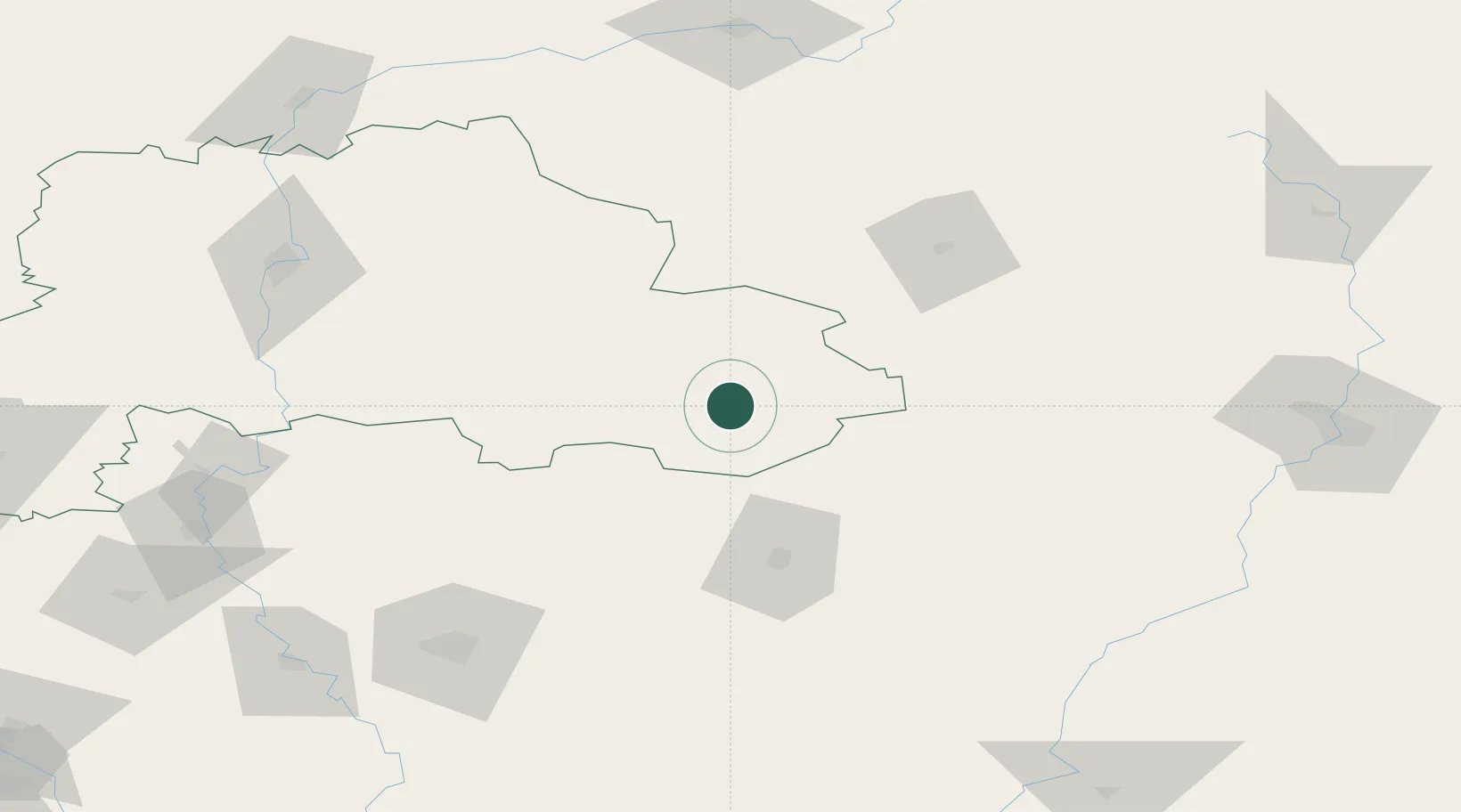
Hub Profile
Place type
Provincial seat
Region
Mogilev
Population
14,870
Time zone
Europe/Minsk
Elevation
181 m
Location
Nearby Logistics Neighbours
Cities
- 1Novozybkov91 km
- 2Zlynka106 km
- 3Zhukovka, Bryansk113 km
- 4Dubovyazivka150 km
- 5Bryansk157 km
Ports
- 1Mykolayiv712 km
- 2Port Oktyabrsk725 km
- 3Sillamae726 km
- 4Ust Luga739 km
- 5Lomonosov743 km
Airports
- 1Seshcha Air Base94 km
- 2Shatalovo Air Base114 km
- 3Gomel Airport115 km
- 4Bryansk International Airport142 km
- 5Mogilev Airport145 km
Trade Zones
DatabookThe Record of Consolidated Knowledge
Belarus beyond logistics?