Transport Functions
Rail
Road
Hub Profile
Region
MA
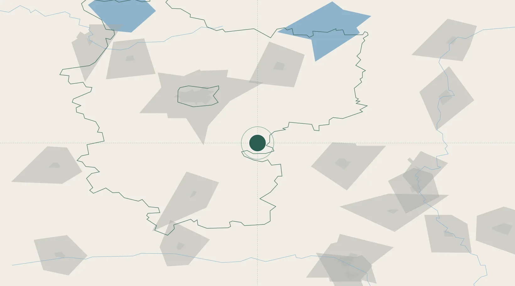
Location
Nearby Logistics Neighbours
Ports
- 1Riga477 km
- 2Salacgriva539 km
- 3Parnu604 km
- 4Roomassaare646 km
- 5Virtsu648 km
Airports
- 1Minsk National Airport58 km
- 2Babruisk Air Base70 km
- 3Mogilev Airport136 km
- 4Baranavichi Air Base151 km
- 5Orsha Airport - Balbasovo Air Base177 km
DatabookThe Record of Consolidated Knowledge
Belarus beyond logistics?