Transport Functions
Rail
Road
Hub Profile
Place type
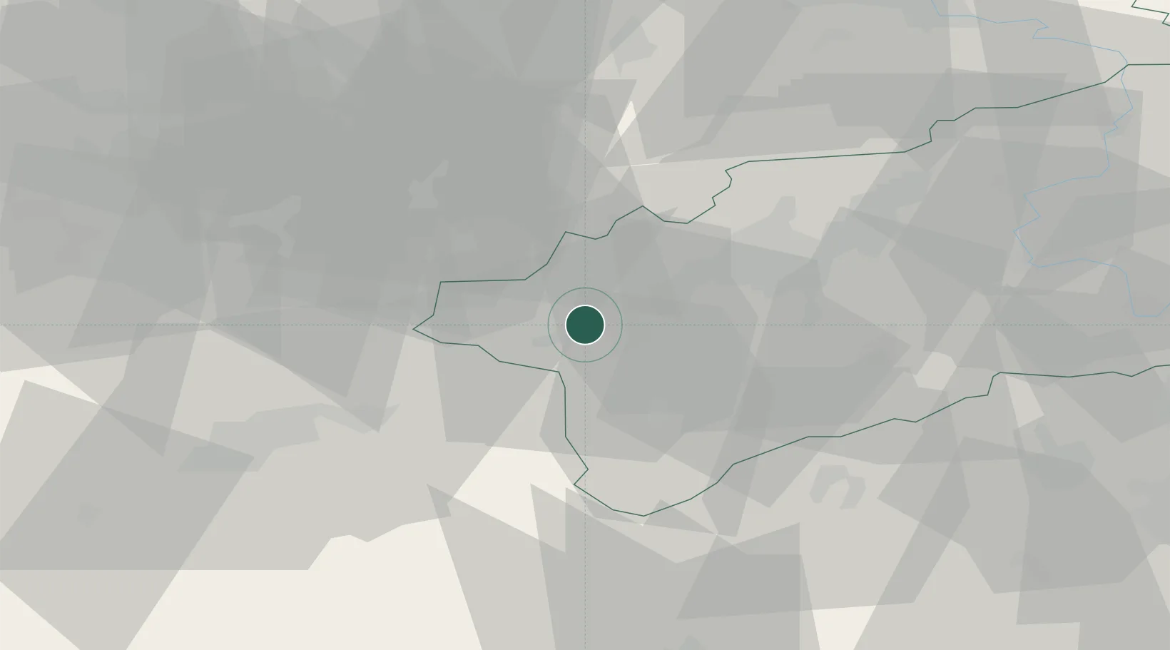
Populated place
Region
Ústecký kraj
Time zone
Europe/Prague
Elevation
315 m
Location
Nearby Logistics Neighbours
Cities
- 1Kadan4 km
- 2Krasna Lipa10 km
- 3Jöhstadt17 km
- 4Hammerunterwiesenthal18 km
- 5Königswalde21 km
Ports
- 1Szczecin345 km
- 2Police361 km
- 3Swinoujscie395 km
- 4Wolgast406 km
- 5Wismar406 km
Airports
- 1Karlovy Vary Airport35 km
- 2Václav Havel Airport Prague79 km
- 3Plzeň-Líně Airport82 km
- 4Leipzig–Altenburg Airport83 km
- 5Vodochody Airport83 km
Trade Zones
DatabookThe Record of Consolidated Knowledge
Czechia beyond logistics?