Diversified Zone · Belarus

Free Economic Zone Vitebsk Active
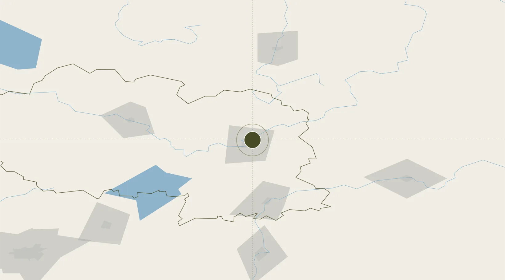
55.2488°, 30.2471°
2,764 ha
Zone area
425.4 km
Nearest port
15.1 km
Nearest airport

Gateway access

Nearest neighbours — logibook spatial index (haversine) over the source coordinates

Zone profile

Zone type
Diversified Zone
Open Zone Map
Region
Vitebsk
Open Zone Map
Status
Active
Open Zone Map
Management
Public
Open Zone Map
Operator
Free Economic Zone Vitebsk Administration
Open Zone Map
Legal framework
Law No. 213-3, No. 1817 of 17.12.2001, No. 1520 of 20.10.2010.
Open Zone Map

Location

Location of ozm-174
Natural Earth 10m (public domain) · Vitebsk · ozm-174 · 55.25, 30.25GoogleOSMYandex

Nearby Logistics Neighbours

Ports
  1. 1Riga425 km
  2. 2Salacgriva452 km
  3. 3Sillamae488 km
  4. 4Parnu494 km
  5. 5Ust Luga505 km
Nearest neighbours — logibook spatial index (haversine) over the source coordinates
Airports
  1. 1Vitebsk Vostochny Airport15 km
  2. 2Orsha Airport - Balbasovo Air Base90 km
  3. 3Smolensk North Airport123 km
  4. 4Mogilev Airport144 km
  5. 5Shatalovo Air Base175 km
Nearest neighbours — logibook spatial index (haversine) over the source coordinates
Cities
  1. 1Gorodok28 km
  2. 2Orsha84 km
  3. 3Kokhanovo89 km
  4. 4Polatsk95 km
  5. 5Navapolatsk106 km
Nearest neighbours — logibook spatial index (haversine) over the source coordinates
Trade Zones
  1. 1Bremino-Orsha Special Economic Zone91 km
  2. 2Free Economic Zone Mogiliov190 km
  3. 3Great Stone Industrial Park (China Belarus Industrial Park)211 km
  4. 4Rēzekne SEZ224 km
  5. 5Latgale SEZ224 km
Nearest neighbours — logibook spatial index (haversine) over the source coordinates
DatabookThe Record of Consolidated Knowledge
Belarus beyond logistics?
Browse databook

All Sources

Trade ZonesOpen Zone Map
CC BY
Portsthe NGA World Port Index
Public domain (US gov)
AirportsOurAirports
Public domain
LocationsUN/LOCODE
UN/LOCODE — free
← Belarus trade zones