Transport Functions
Rail
Road
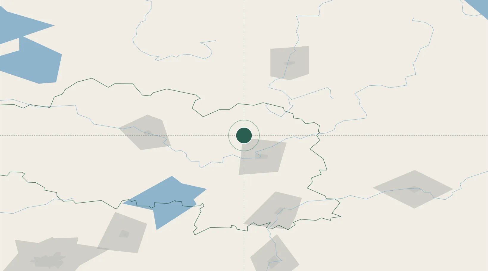
Hub Profile
Place type
Provincial seat
Region
Vitebsk
Population
11,533
Time zone
Europe/Minsk
Elevation
190 m
Location
Nearby Logistics Neighbours
Cities
- 1Polatsk75 km
- 2Navapolatsk85 km
- 3Orsha109 km
- 4Kokhanovo109 km
- 5Zilupe156 km
Ports
- 1Riga400 km
- 2Salacgriva425 km
- 3Sillamae462 km
- 4Parnu467 km
- 5Ust Luga479 km
Airports
- 1Vitebsk Vostochny Airport43 km
- 2Orsha Airport - Balbasovo Air Base114 km
- 3Smolensk North Airport147 km
- 4Mogilev Airport166 km
- 5Shatalovo Air Base201 km
Trade Zones
- 1Free Economic Zone Vitebsk28 km
- 2Bremino-Orsha Special Economic Zone115 km
- 3Rēzekne SEZ198 km
- 4Latgale SEZ198 km
- 5Free Economic Zone Mogiliov213 km
DatabookThe Record of Consolidated Knowledge
Belarus beyond logistics?