Medium airport · Russia

Smolensk North AirportRU-10076
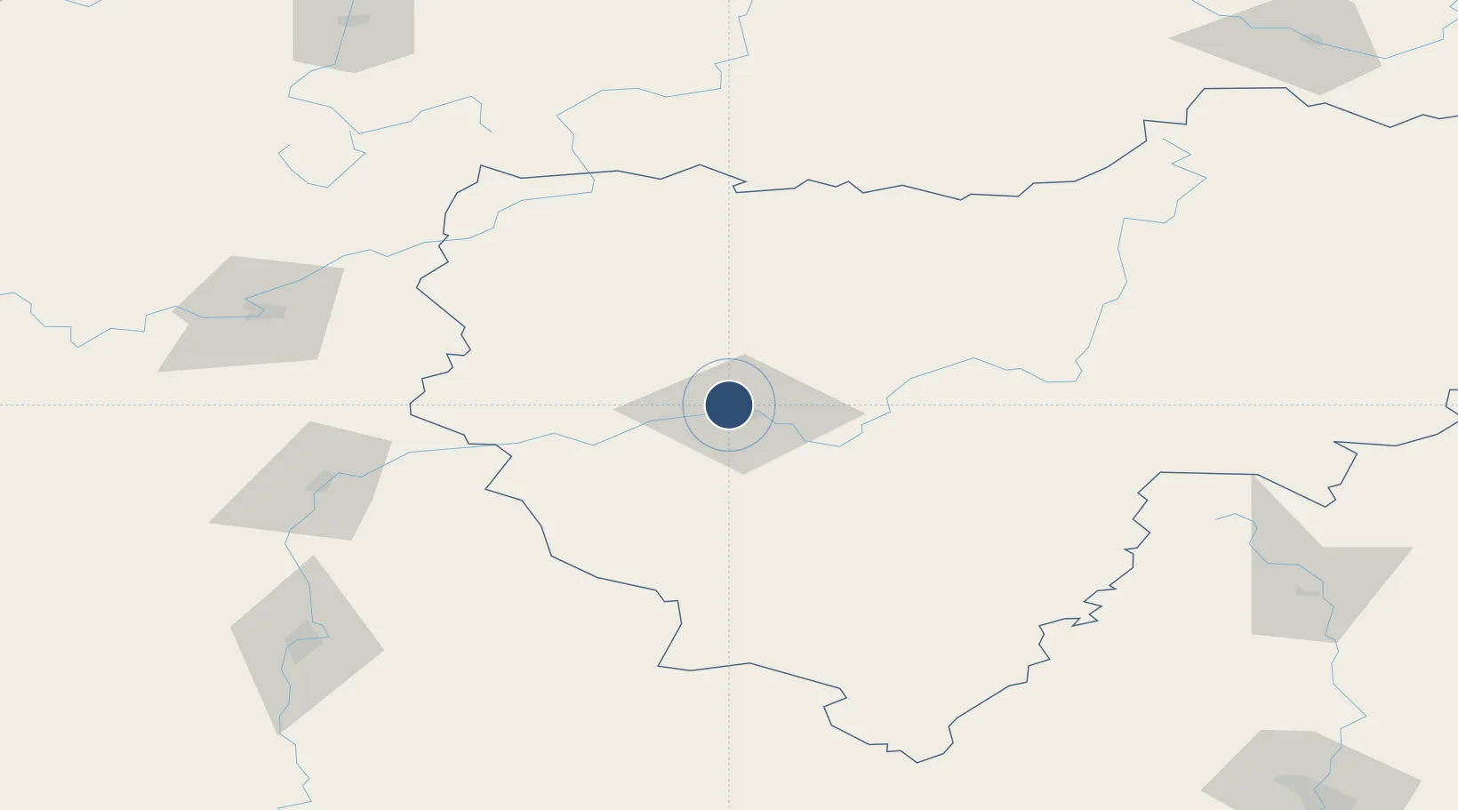
54.8240°, 32.0250°
8,202 ft
Longest runway
1
Runways
820 ft
Elevation

Runway & Layout

Smolensk North Airport runway & taxiway layout
Runway & taxiway layout — OpenStreetMap (ODbL) / OurAirports

Runways · 1

RunwayDimensions SurfaceTrue headingLit
08/26 8,202 × —ft Concrete
OurAirports

Airport Specifications

IATA code
LNX
OurAirports
Airport class
Medium airport
OurAirports
Scheduled service
No
OurAirports
Runway surface
Concrete
OurAirports
Served city
Smolensk
OurAirports

Location

Location of RU-10076
Natural Earth 10m (public domain) · Smolensk · RU-10076 · 54.82, 32.02GoogleOSMYandex

Nearby Logistics Neighbours

Airports
  1. 1Shatalovo Air Base61 km
  2. 2Vitebsk Vostochny Airport112 km
  3. 3Orsha Airport - Balbasovo Air Base119 km
  4. 4Seshcha Air Base150 km
  5. 5Mogilev Airport158 km
Nearest neighbours — logibook spatial index (haversine) over the source coordinates
Cities
  1. 1Yartsevo49 km
  2. 2Verkhnedneprovskiy86 km
  3. 3Orsha111 km
  4. 4Vyaz'ma151 km
  5. 5Kostyukovichi164 km
Nearest neighbours — logibook spatial index (haversine) over the source coordinates
Ports
  1. 1Riga547 km
  2. 2Salacgriva570 km
  3. 3Sillamae573 km
  4. 4Lomonosov582 km
  5. 5Ust Luga583 km
Nearest neighbours — logibook spatial index (haversine) over the source coordinates
Trade Zones
  1. 1Bremino-Orsha Special Economic Zone121 km
  2. 2Free Economic Zone Vitebsk123 km
  3. 3Free Economic Zone Mogiliov185 km
  4. 4Lyudinovo Special Economic Zone190 km
  5. 5Lyudinovsky Special Economic Zone - Industrial196 km
Nearest neighbours — logibook spatial index (haversine) over the source coordinates
DatabookThe Record of Consolidated Knowledge
Russia beyond logistics?
Browse databook

All Sources

AirportsOurAirports
Public domain
Portsthe NGA World Port Index
Public domain (US gov)
LocationsUN/LOCODE
UN/LOCODE — free
Trade Zonesthe World Bank SEZ database
CC BY 4.0
Trade ZonesOpen Zone Map
CC BY
InfrastructureOpenStreetMap
ODbL 1.0
← Russia airports