Transport Functions
Rail
Road
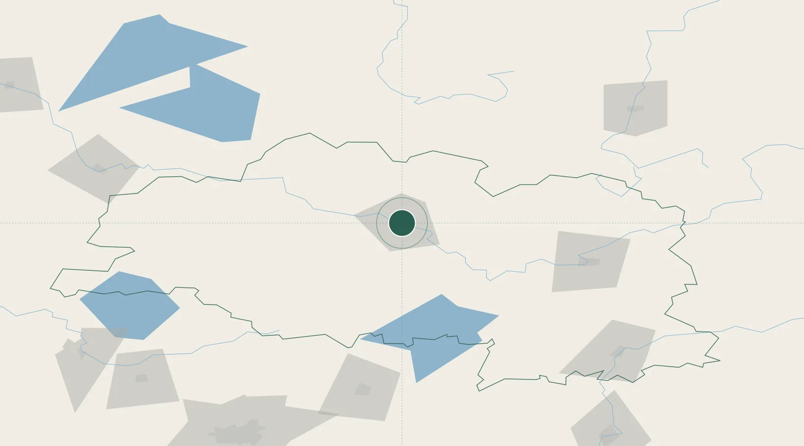
Location
Nearby Logistics Neighbours
Cities
- 1Navapolatsk11 km
- 2Gorodok75 km
- 3Zilupe109 km
- 4Kokhanovo136 km
- 5Borisov142 km
Ports
- 1Riga333 km
- 2Salacgriva367 km
- 3Parnu415 km
- 4Sillamae443 km
- 5Ust Luga466 km
Airports
- 1Vitebsk Vostochny Airport106 km
- 2Daugavpils International Airport143 km
- 3Orsha Airport - Balbasovo Air Base150 km
- 4Minsk National Airport184 km
- 5Mogilev Airport189 km
Trade Zones
DatabookThe Record of Consolidated Knowledge
Belarus beyond logistics?