Medium airport · Russia

Shatalovo Air BaseRU-4609
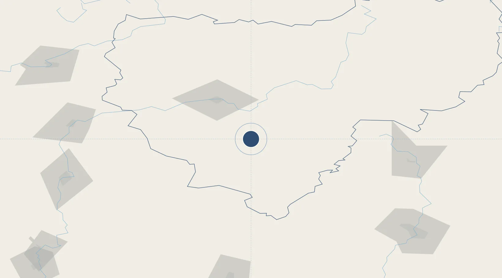
54.3400°, 32.4733°
8,202 ft
Longest runway
1
Runways
630 ft
Elevation

Runway & Layout

Shatalovo Air Base runway & taxiway layout
Runway & taxiway layout — OpenStreetMap (ODbL) / OurAirports

Runways · 1

RunwayDimensions SurfaceTrue headingLit
08/26 8,202 × 147ft Concrete
OurAirports

Airport Specifications

Airport class
Medium airport
OurAirports
Scheduled service
No
OurAirports
Runway surface
Concrete
OurAirports
Served city
Pochinok
OurAirports

Location

Location of RU-4609
Natural Earth 10m (public domain) · Smolensk · RU-4609 · 54.34, 32.47GoogleOSMYandex

Nearby Logistics Neighbours

Airports
  1. 1Smolensk North Airport61 km
  2. 2Seshcha Air Base90 km
  3. 3Shaykovka Air Base124 km
  4. 4Orsha Airport - Balbasovo Air Base141 km
  5. 5Mogilev Airport161 km
Nearest neighbours — logibook spatial index (haversine) over the source coordinates
Cities
  1. 1Yartsevo82 km
  2. 2Verkhnedneprovskiy90 km
  3. 3Kostyukovichi114 km
  4. 4Zhukovka, Bryansk123 km
  5. 5Orsha135 km
Nearest neighbours — logibook spatial index (haversine) over the source coordinates
Ports
  1. 1Riga600 km
  2. 2Salacgriva627 km
  3. 3Sillamae634 km
  4. 4Lomonosov641 km
  5. 5Ust Luga643 km
Nearest neighbours — logibook spatial index (haversine) over the source coordinates
Trade Zones
  1. 1Lyudinovo Special Economic Zone140 km
  2. 2Bremino-Orsha Special Economic Zone142 km
  3. 3Lyudinovsky Special Economic Zone - Industrial145 km
  4. 4Free Economic Zone Mogiliov173 km
  5. 5Free Economic Zone Vitebsk175 km
Nearest neighbours — logibook spatial index (haversine) over the source coordinates
DatabookThe Record of Consolidated Knowledge
Russia beyond logistics?
Browse databook

All Sources

AirportsOurAirports
Public domain
Portsthe NGA World Port Index
Public domain (US gov)
LocationsUN/LOCODE
UN/LOCODE — free
Trade Zonesthe World Bank SEZ database
CC BY 4.0
Trade ZonesOpen Zone Map
CC BY
InfrastructureOpenStreetMap
ODbL 1.0
← Russia airports