Medium airport · Belarus

Vitebsk Vostochny AirportUMII
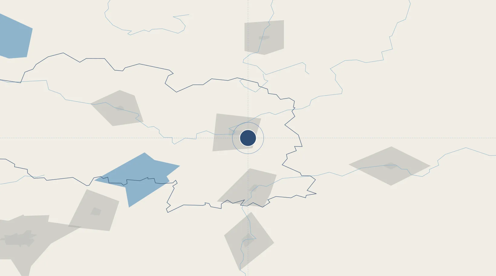
55.1265°, 30.3496°
8,550 ft
Longest runway
1
Runways
682 ft
Elevation

Runway & Layout

Vitebsk Vostochny Airport runway & taxiway layout
Runway & taxiway layout — OpenStreetMap (ODbL) / OurAirports

Radio Frequencies

APP
120.4 MHz
OurAirports

Navaids

UU NDB Vitebsk 524 kHz
VTB VOR-DME Vitebsk 112.70 MHz
WS NDB Vitebsk 524 kHz
OurAirports

Runways · 1

RunwayDimensions SurfaceTrue headingLit
06/24 8,550 × 138ft Asphalt 062°
OurAirports

Airport Specifications

IATA code
VTB
OurAirports
ICAO code
UMII
OurAirports
Airport class
Medium airport
OurAirports
Scheduled service
No
OurAirports
Runway surface
Asphalt
OurAirports
Served city
Vitebsk
OurAirports

Location

Location of UMII
Natural Earth 10m (public domain) · Vitebsk · UMII · 55.13, 30.35GoogleOSMYandex

Nearby Logistics Neighbours

Airports
  1. 1Orsha Airport - Balbasovo Air Base76 km
  2. 2Smolensk North Airport112 km
  3. 3Mogilev Airport131 km
  4. 4Shatalovo Air Base162 km
  5. 5Minsk National Airport203 km
Nearest neighbours — logibook spatial index (haversine) over the source coordinates
Cities
  1. 1Gorodok43 km
  2. 2Orsha70 km
  3. 3Kokhanovo77 km
  4. 4Polatsk106 km
  5. 5Navapolatsk117 km
Nearest neighbours — logibook spatial index (haversine) over the source coordinates
Ports
  1. 1Riga438 km
  2. 2Salacgriva466 km
  3. 3Sillamae503 km
  4. 4Parnu509 km
  5. 5Ust Luga519 km
Nearest neighbours — logibook spatial index (haversine) over the source coordinates
Trade Zones
  1. 1Free Economic Zone Vitebsk15 km
  2. 2Bremino-Orsha Special Economic Zone78 km
  3. 3Free Economic Zone Mogiliov177 km
  4. 4Great Stone Industrial Park (China Belarus Industrial Park)206 km
  5. 5Rēzekne SEZ237 km
Nearest neighbours — logibook spatial index (haversine) over the source coordinates
DatabookThe Record of Consolidated Knowledge
Belarus beyond logistics?
Browse databook

All Sources

AirportsOurAirports
Public domain
Portsthe NGA World Port Index
Public domain (US gov)
LocationsUN/LOCODE
UN/LOCODE — free
Trade Zonesthe World Bank SEZ database
CC BY 4.0
Trade ZonesOpen Zone Map
CC BY
InfrastructureOpenStreetMap
ODbL 1.0
← Belarus airports