UN/LOCODE hub · Belarus
BYNPK

Navapolatsk

55.5333°, 28.6500°
2
Transport functions

Transport Functions

Rail
Road
UN/LOCODE

Hub Profile

Region
VI
GeoNames

Location

Location of BYNPK
Natural Earth 10m (public domain) · VI · BYNPK · 55.53, 28.65GoogleOSMYandex

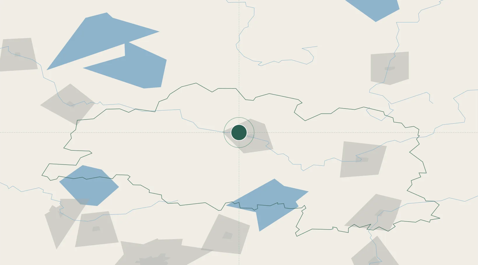
Nearby Logistics Neighbours

Cities
  1. 1Polatsk11 km
  2. 2Gorodok85 km
  3. 3Zilupe100 km
  4. 4Daugavpils138 km
  5. 5Kokhanovo146 km
Nearest neighbours — logibook spatial index (haversine) over the source coordinates
Ports
  1. 1Riga322 km
  2. 2Salacgriva356 km
  3. 3Parnu405 km
  4. 4Sillamae436 km
  5. 5Ust Luga460 km
Nearest neighbours — logibook spatial index (haversine) over the source coordinates
Airports
  1. 1Vitebsk Vostochny Airport117 km
  2. 2Daugavpils International Airport132 km
  3. 3Orsha Airport - Balbasovo Air Base161 km
  4. 4Minsk National Airport187 km
  5. 5Ostrov Naval Air Base197 km
Nearest neighbours — logibook spatial index (haversine) over the source coordinates
Trade Zones
  1. 1Free Economic Zone Vitebsk106 km
  2. 2Rēzekne SEZ125 km
  3. 3Latgale SEZ125 km
  4. 4Bremino-Orsha Special Economic Zone161 km
  5. 5Great Stone Industrial Park (China Belarus Industrial Park)188 km
Nearest neighbours — logibook spatial index (haversine) over the source coordinates
DatabookThe Record of Consolidated Knowledge
Belarus beyond logistics?
Browse databook

All Sources

LocationsUN/LOCODE
UN/LOCODE — free
Portsthe NGA World Port Index
Public domain (US gov)
AirportsOurAirports
Public domain
Trade Zonesthe World Bank SEZ database
CC BY 4.0
Trade ZonesOpen Zone Map
CC BY
← Belarus locations