Transport Functions
Multimodal
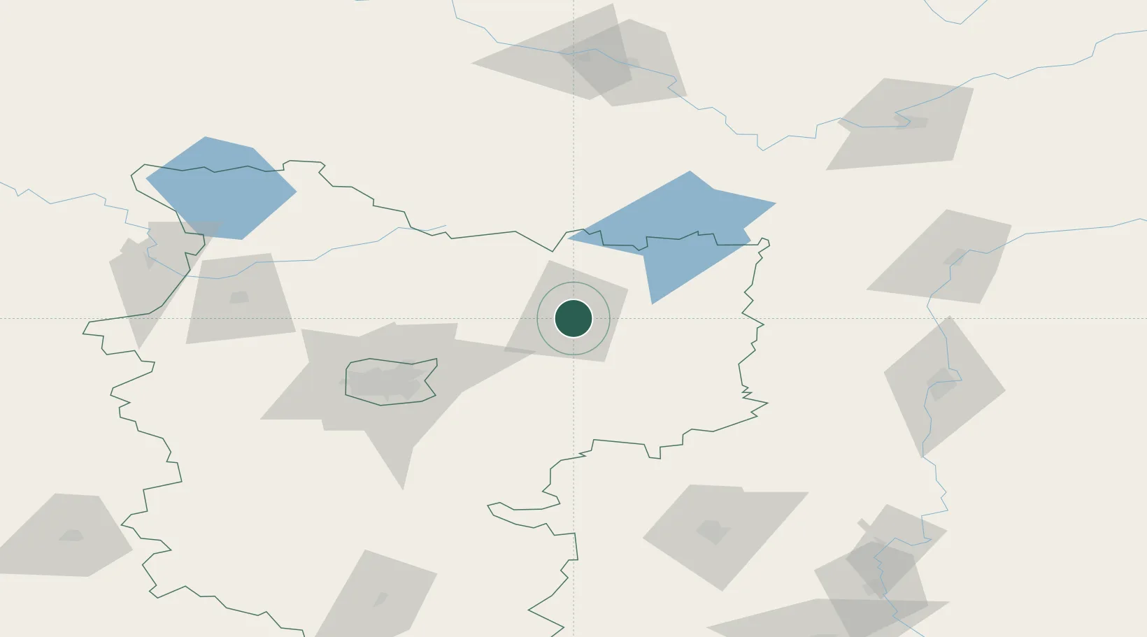
Location
Nearby Logistics Neighbours
Ports
- 1Riga412 km
- 2Salacgriva465 km
- 3Parnu526 km
- 4Sillamae581 km
- 5Kunda603 km
Airports
- 1Minsk National Airport48 km
- 2Mogilev Airport107 km
- 3Orsha Airport - Balbasovo Air Base118 km
- 4Babruisk Air Base132 km
- 5Vitebsk Vostochny Airport155 km
Trade Zones
DatabookThe Record of Consolidated Knowledge
Belarus beyond logistics?