Medium airport · Myanmar (Burma)
Sittwe AirportVYSW
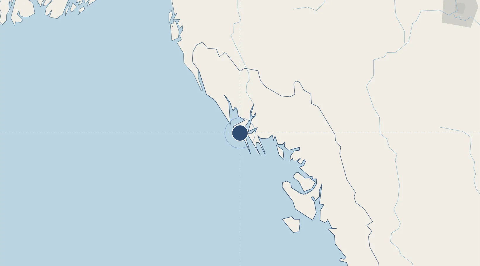
20.1332°, 92.8707°
6,001 ft
Longest runway
1
Runways
27 ft
Elevation
Runway & Layout

Radio Frequencies
TWR
118.7 MHz
APP
119.7 MHz
Navaids
SW NDB Sittwe 216 kHz
Runways · 1
| Runway | Dimensions | Surface | True heading | Lit |
|---|---|---|---|---|
| 11/29 | 6,001 × 151ft | Bitumen | 104° | ✓ |
Airport Specifications
IATA code
AKY
ICAO code
VYSW
Airport class
Medium airport
Scheduled service
Yes
Runway surface
Bitumen
Served city
Sittwe
Location
Nearby Logistics Neighbours
Airports
- 1Kyaukpyu Airport105 km
- 2Cox's Bazar Airport175 km
- 3Magway Airport216 km
- 4Thandwe Airport239 km
- 5Bagan Airport244 km
Cities
- 1Chattogram269 km
- 2Payra Port336 km
- 3Myit Nge385 km
- 4Mongla428 km
- 5Narayanganj453 km
Ports
- 1Sittwe3 km
- 2Chittagong266 km
- 3Bassein421 km
- 4Mongla427 km
- 5Rangoon511 km
Trade Zones
DatabookThe Record of Consolidated Knowledge
Myanmar (Burma) beyond logistics?