Medium airport · Myanmar (Burma)

Kyaukpyu AirportVYKP
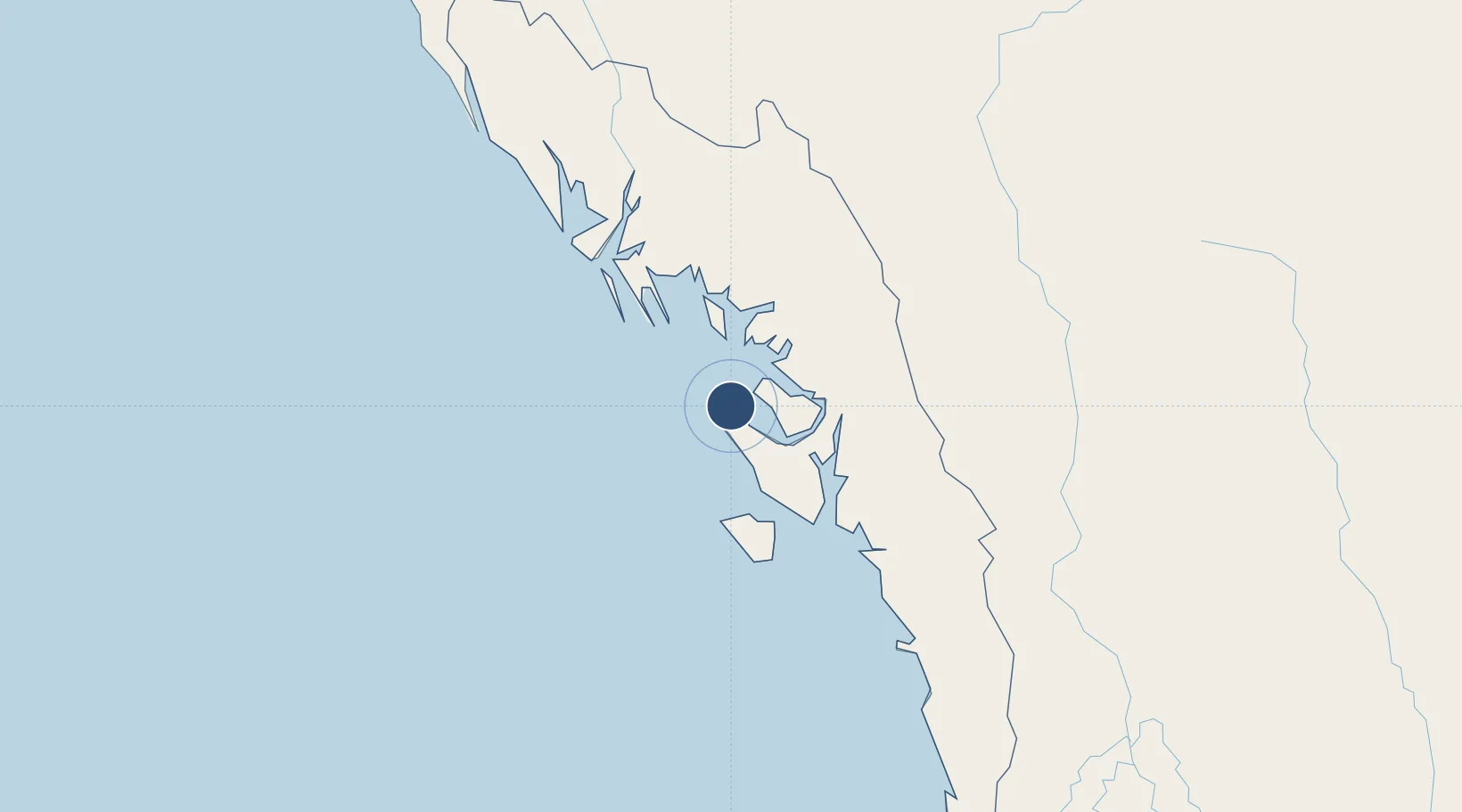
19.4264°, 93.5348°
4,600 ft
Longest runway
1
Runways
20 ft
Elevation

Runway & Layout

Kyaukpyu Airport runway & taxiway layout
Runway & taxiway layout — OpenStreetMap (ODbL) / OurAirports

Radio Frequencies

TWR
118.7 MHz
OurAirports

Navaids

KP NDB Kyaukpyu 250 kHz
OurAirports

Runways · 1

RunwayDimensions SurfaceTrue headingLit
18/36 4,600 × 100ft Bitumen 180°
OurAirports

Airport Specifications

IATA code
KYP
OurAirports
ICAO code
VYKP
OurAirports
Airport class
Medium airport
OurAirports
Scheduled service
Yes
OurAirports
Runway surface
Bitumen
OurAirports
Served city
Kyaukpyu
OurAirports

Location

Location of VYKP
Natural Earth 10m (public domain) · Rakhine · VYKP · 19.43, 93.53GoogleOSMYandex

Nearby Logistics Neighbours

Airports
  1. 1Sittwe Airport105 km
  2. 2Thandwe Airport134 km
  3. 3Magway Airport169 km
  4. 4Bagan Airport243 km
  5. 5Cox's Bazar Airport279 km
Nearest neighbours — logibook spatial index (haversine) over the source coordinates
Cities
  1. 1Chattogram371 km
  2. 2Myit Nge379 km
  3. 3Kyaiklat397 km
  4. 4Yangon403 km
  5. 5Pazundaung405 km
Nearest neighbours — logibook spatial index (haversine) over the source coordinates
Ports
  1. 1Sittwe103 km
  2. 2Bassein320 km
  3. 3Chittagong368 km
  4. 4Rangoon406 km
  5. 5Mongla530 km
Nearest neighbours — logibook spatial index (haversine) over the source coordinates
Trade Zones
  1. 1Sabrang Tourism Park206 km
  2. 2Naf Tourism Park: Jaliardwip211 km
  3. 3Moheshkhali Economic Zone - 1, Coxs Bazar276 km
  4. 4Moheshkhali Special Economic Zone, Ghativanga-Sonadia287 km
  5. 5Sonadia Tourism Park287 km
Nearest neighbours — logibook spatial index (haversine) over the source coordinates
DatabookThe Record of Consolidated Knowledge
Myanmar (Burma) beyond logistics?
Browse databook

All Sources

AirportsOurAirports
Public domain
Portsthe NGA World Port Index
Public domain (US gov)
LocationsUN/LOCODE
UN/LOCODE — free
Trade Zonesthe World Bank SEZ database
CC BY 4.0
Trade ZonesOpen Zone Map
CC BY
InfrastructureOpenStreetMap
ODbL 1.0
← Myanmar (Burma) airports