Diversified Zone · Bangladesh

A.K.Khan And Comapny Ltd. Economic Zone Active
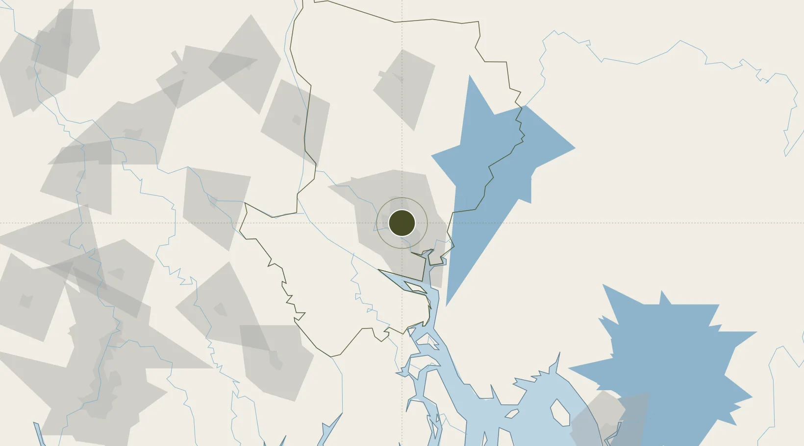
23.7822°, 90.4143°
81 ha
Zone area
168.3 km
Nearest port
7.0 km
Nearest airport

Gateway access

Nearest neighbours — logibook spatial index (haversine) over the source coordinates

Zone profile

Zone type
Diversified Zone
Open Zone Map
Region
Dhaka
Open Zone Map
Status
Active
Open Zone Map
Management
Private
Open Zone Map
Operator
A.K.Khan and Comapny Ltd.
Open Zone Map
Legal framework
Bangladesh Economic Zones Act: 2010. Bangladesh Private Economic Zones Policy: 2015.
Open Zone Map

Location

Location of ozm-119
Natural Earth 10m (public domain) · Dhaka · ozm-119 · 23.78, 90.41GoogleOSMYandex

Nearby Logistics Neighbours

Ports
  1. 1Mongla168 km
  2. 2Chittagong217 km
  3. 3Calcutta253 km
  4. 4Haldia Port309 km
  5. 5Sittwe480 km
Nearest neighbours — logibook spatial index (haversine) over the source coordinates
Airports
  1. 1Hazrat Shahjalal International Airport7 km
  2. 2Agartala - Maharaja Bir Bikram Airport85 km
  3. 3Barisal Airport110 km
  4. 4Jessore Airport144 km
  5. 5Ishurdi Airport145 km
Nearest neighbours — logibook spatial index (haversine) over the source coordinates
Cities
  1. 1Tejgaon2 km
  2. 2Pangaon15 km
  3. 3Savar18 km
  4. 4Munshiganj25 km
  5. 5Panchashar26 km
Nearest neighbours — logibook spatial index (haversine) over the source coordinates
Trade Zones
  1. 1East-Coast Group Economic Zone1 km
  2. 2United City It Park Ltd. Dhaka2 km
  3. 3Bashundhara Economic Zone5 km
  4. 4Manikganj Economic Zone9 km
  5. 5Arisha Economic Zone9 km
Nearest neighbours — logibook spatial index (haversine) over the source coordinates
DatabookThe Record of Consolidated Knowledge
Bangladesh beyond logistics?
Browse databook

All Sources

Trade ZonesOpen Zone Map
CC BY
Portsthe NGA World Port Index
Public domain (US gov)
AirportsOurAirports
Public domain
LocationsUN/LOCODE
UN/LOCODE — free
← Bangladesh trade zones