Free Trade Zone · China

Beidahuang Economic Development Zone Active
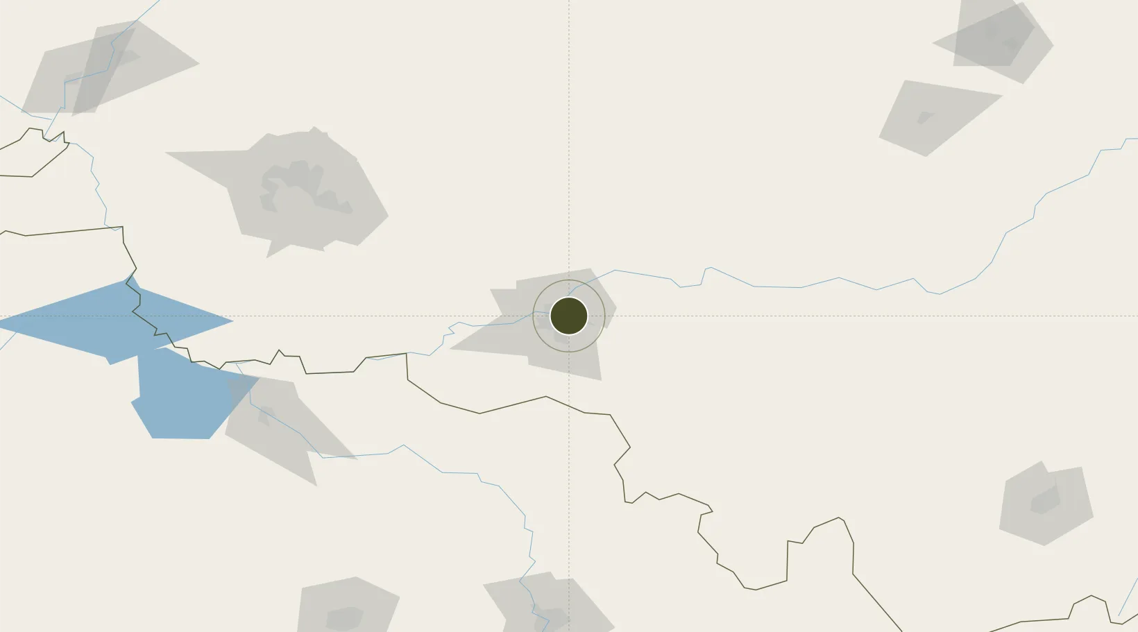
45.7419°, 126.6998°
446 ha
Zone area
474.3 km
Nearest port
37.3 km
Nearest airport

Gateway access

Nearest neighbours — logibook spatial index (haversine) over the source coordinates

Zone profile

Zone type
Free Trade Zone
Open Zone Map
Region
Heilongjiang
Open Zone Map
Status
Active
Open Zone Map
Management
Public
Open Zone Map
Operator
Heilongjiang Great Northern Wilderness Management Committee
Open Zone Map
Legal framework
Unavailable
Open Zone Map

Location

Location of ozm-1515
Natural Earth 10m (public domain) · Heilongjiang · ozm-1515 · 45.74, 126.70GoogleOSMYandex

Nearby Logistics Neighbours

Ports
  1. 1Pos'yet474 km
  2. 2Najin485 km
  3. 3Slavyanka491 km
  4. 4Zarubino491 km
  5. 5Vladivostok505 km
Nearest neighbours — logibook spatial index (haversine) over the source coordinates
Airports
  1. 1Harbin Taiping International Airport37 km
  2. 2Lalin Air Base56 km
  3. 3Daqing Sartu Airport164 km
  4. 4Songyuan Chaganhu Airport191 km
  5. 5Changchun Longjia International Airport210 km
Nearest neighbours — logibook spatial index (haversine) over the source coordinates
Cities
  1. 1Harbin8 km
  2. 2Shuangcheng54 km
  3. 3Bayan66 km
  4. 4Zhaodong66 km
  5. 5Dehui156 km
Nearest neighbours — logibook spatial index (haversine) over the source coordinates
Trade Zones
  1. 1Jingyu Ecological Economy Development Zone28 km
  2. 2Niujia Economic Development Zone34 km
  3. 3Shuangcheng Economic Development Zone47 km
  4. 4Lanxi Industrial Demonstration Base64 km
  5. 5Zhaodong Economic Development Zone67 km
Nearest neighbours — logibook spatial index (haversine) over the source coordinates
DatabookThe Record of Consolidated Knowledge
China beyond logistics?
Browse databook

All Sources

Trade ZonesOpen Zone Map
CC BY
Portsthe NGA World Port Index
Public domain (US gov)
AirportsOurAirports
Public domain
LocationsUN/LOCODE
UN/LOCODE — free
← China trade zones