Transport Functions
Port
Hub Profile
Place type
District seat
Region
Heilongjiang
Population
55,186
Time zone
Asia/Shanghai
Elevation
125 m
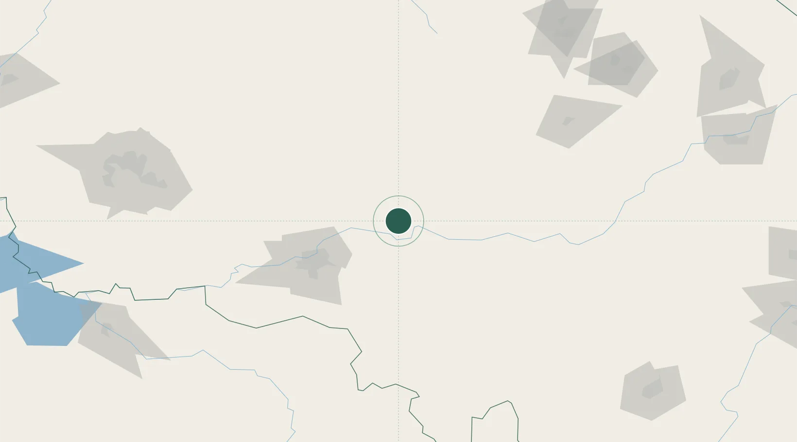
Location
Nearby Logistics Neighbours
Cities
- 1Harbin73 km
- 2Zhaodong109 km
- 3Tieli112 km
- 4Shuangcheng119 km
- 5Shanshi215 km
Ports
- 1Pos'yet468 km
- 2Slavyanka477 km
- 3Zarubino483 km
- 4Vladivostok485 km
- 5Najin487 km
Airports
- 1Lalin Air Base100 km
- 2Harbin Taiping International Airport103 km
- 3Daqing Sartu Airport189 km
- 4Yichun Lindu Airport223 km
- 5Mudanjiang Hailang International Airport242 km
DatabookThe Record of Consolidated Knowledge
China beyond logistics?