Export Processing Zone · China

Shuangcheng Economic Development Zone Active
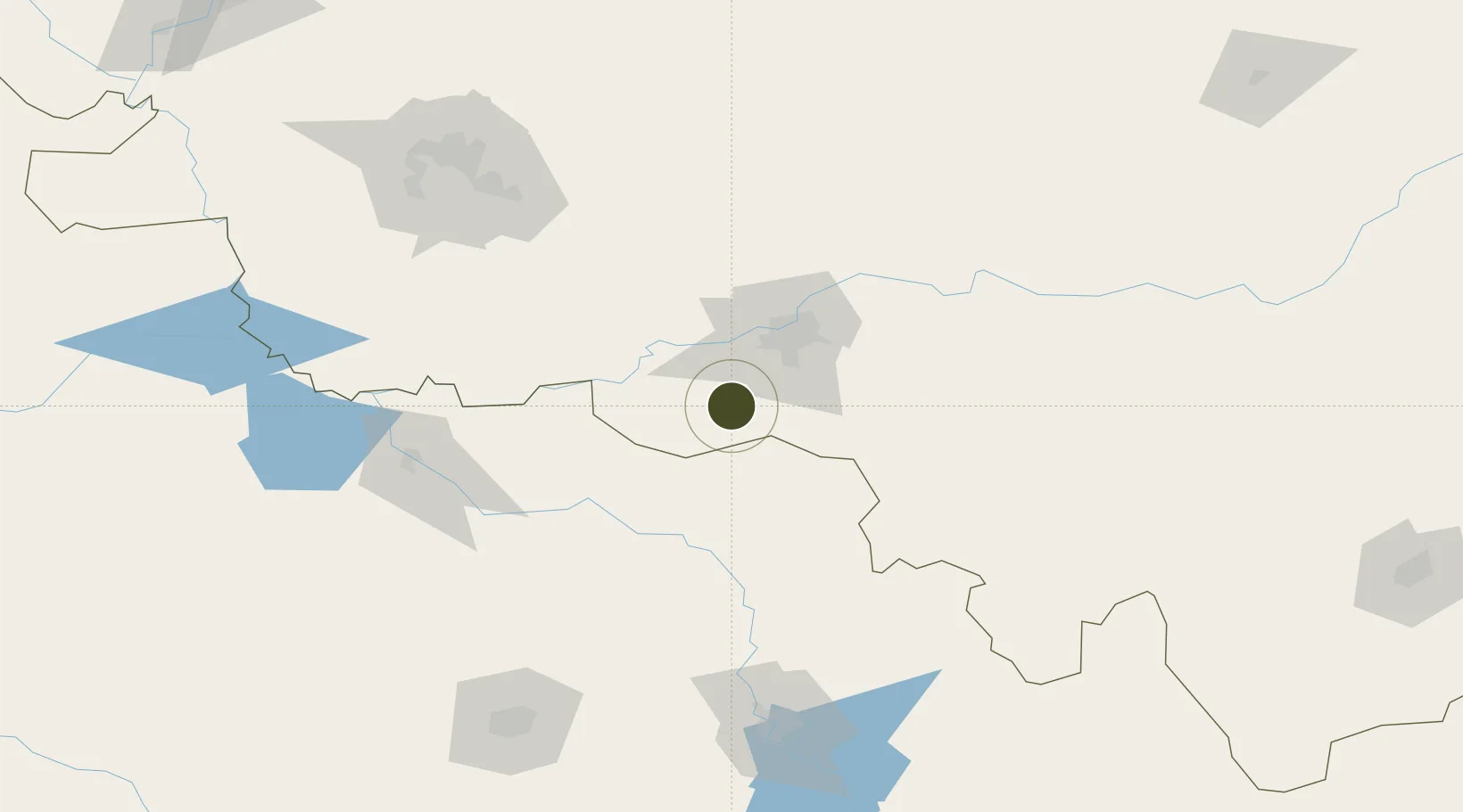
45.3891°, 126.3692°
379 ha
Zone area
467.1 km
Nearest port
27.7 km
Nearest airport

Gateway access

Nearest neighbours — logibook spatial index (haversine) over the source coordinates

Zone profile

Zone type
Export Processing Zone
Open Zone Map
Region
Heilongjiang
Open Zone Map
Status
Active
Open Zone Map
Management
Public
Open Zone Map
Operator
Management Committee of Heilongjiang Shuangcheng Economic Development Zone
Open Zone Map
Legal framework
Unavailable
Open Zone Map

Location

Location of ozm-1113
Natural Earth 10m (public domain) · Heilongjiang · ozm-1113 · 45.39, 126.37GoogleOSMYandex

Nearby Logistics Neighbours

Ports
  1. 1Pos'yet467 km
  2. 2Najin472 km
  3. 3Zarubino486 km
  4. 4Slavyanka489 km
  5. 5Ch'ongjin489 km
Nearest neighbours — logibook spatial index (haversine) over the source coordinates
Airports
  1. 1Harbin Taiping International Airport28 km
  2. 2Lalin Air Base44 km
  3. 3Songyuan Chaganhu Airport151 km
  4. 4Changchun Longjia International Airport164 km
  5. 5Daqing Sartu Airport179 km
Nearest neighbours — logibook spatial index (haversine) over the source coordinates
Cities
  1. 1Shuangcheng8 km
  2. 2Harbin42 km
  3. 3Zhaodong81 km
  4. 4Dehui109 km
  5. 5Bayan111 km
Nearest neighbours — logibook spatial index (haversine) over the source coordinates
DatabookThe Record of Consolidated Knowledge
China beyond logistics?
Browse databook

All Sources

Trade ZonesOpen Zone Map
CC BY
Portsthe NGA World Port Index
Public domain (US gov)
AirportsOurAirports
Public domain
LocationsUN/LOCODE
UN/LOCODE — free
← China trade zones