Runway & Layout

Airport Specifications
Airport class
Medium airport
Scheduled service
No
Served city
Harbin
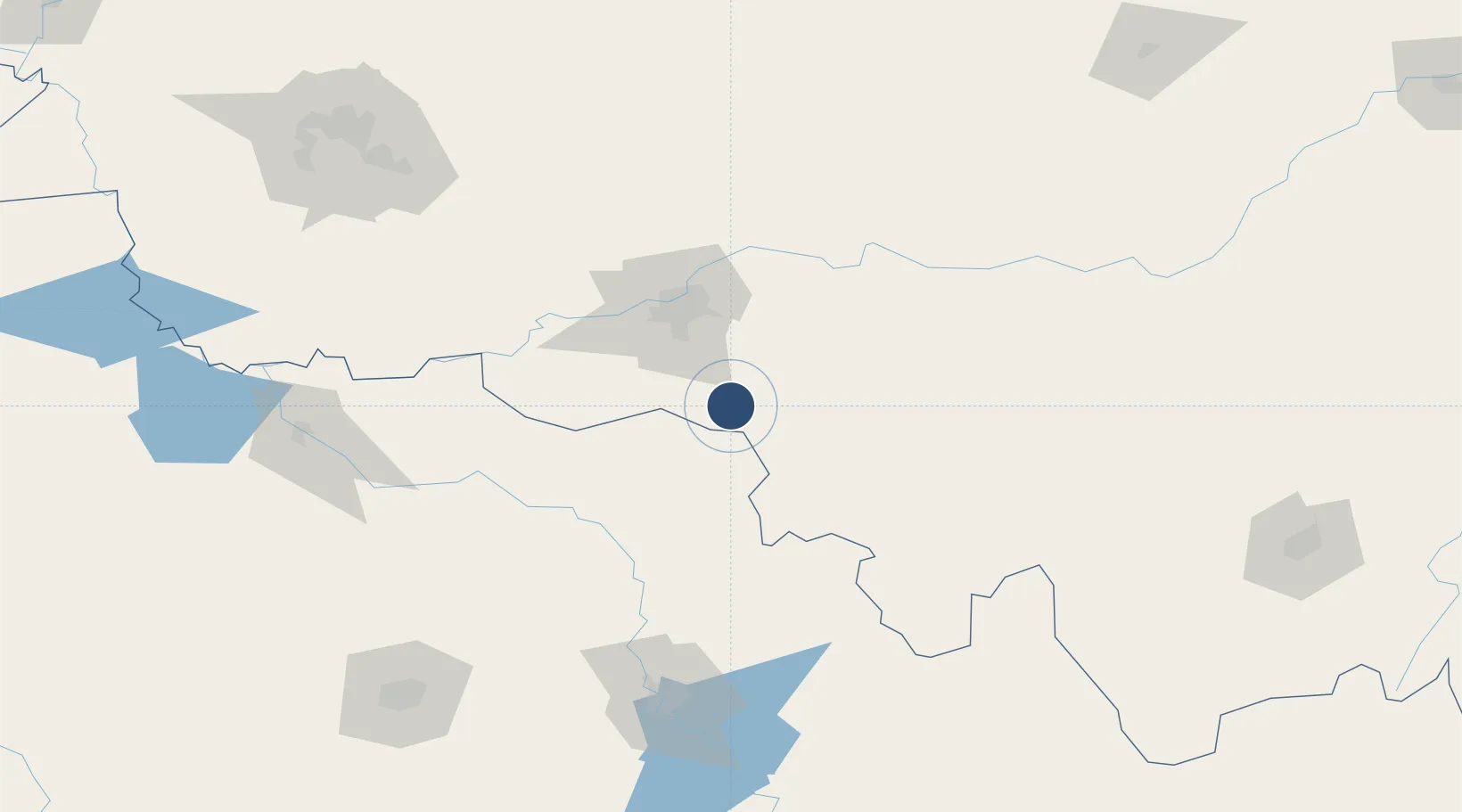
Location
Nearby Logistics Neighbours
Airports
Cities
- 1Shuangcheng49 km
- 2Harbin57 km
- 3Bayan100 km
- 4Zhaodong114 km
- 5Dehui124 km
DatabookThe Record of Consolidated Knowledge
China beyond logistics?