Free Trade Zone · China

Lanxi Industrial Demonstration Base Active
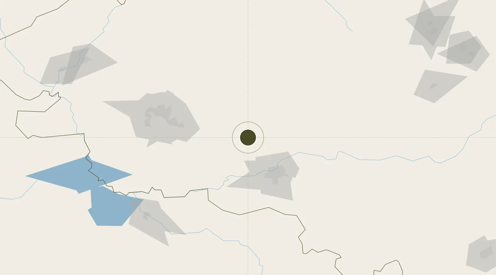
46.2351°, 126.2682°
137 ha
Zone area
536.8 km
Nearest port
68.0 km
Nearest airport

Gateway access

Nearest neighbours — logibook spatial index (haversine) over the source coordinates

Zone profile

Zone type
Free Trade Zone
Open Zone Map
Region
Heilongjiang
Open Zone Map
Status
Active
Open Zone Map
Management
Public
Open Zone Map
Operator
Lanxi Economic Development Zone Management Committee
Open Zone Map
Legal framework
Unavailable
Open Zone Map

Location

Location of ozm-1493
Natural Earth 10m (public domain) · Heilongjiang · ozm-1493 · 46.24, 126.27GoogleOSMYandex

Nearby Logistics Neighbours

Ports
  1. 1Pos'yet537 km
  2. 2Najin549 km
  3. 3Slavyanka552 km
  4. 4Zarubino554 km
  5. 5Vladivostok564 km
Nearest neighbours — logibook spatial index (haversine) over the source coordinates
Airports
  1. 1Harbin Taiping International Airport68 km
  2. 2Daqing Sartu Airport104 km
  3. 3Lalin Air Base119 km
  4. 4Songyuan Chaganhu Airport197 km
  5. 5Qiqihar Sanjiazi Airport211 km
Nearest neighbours — logibook spatial index (haversine) over the source coordinates
Cities
  1. 1Zhaodong29 km
  2. 2Harbin61 km
  3. 3Bayan89 km
  4. 4Shuangcheng98 km
  5. 5Daqing146 km
Nearest neighbours — logibook spatial index (haversine) over the source coordinates
Trade Zones
  1. 1Zhaodong Economic Development Zone30 km
  2. 2Qinggang Economic Development Zone60 km
  3. 3Beidahuang Economic Development Zone64 km
  4. 4Hailun Economic Development Zone69 km
  5. 5Jingyu Ecological Economy Development Zone82 km
Nearest neighbours — logibook spatial index (haversine) over the source coordinates
DatabookThe Record of Consolidated Knowledge
China beyond logistics?
Browse databook

All Sources

Trade ZonesOpen Zone Map
CC BY
Portsthe NGA World Port Index
Public domain (US gov)
AirportsOurAirports
Public domain
LocationsUN/LOCODE
UN/LOCODE — free
← China trade zones