Transport Functions
Port
Rail
Airport
Postal
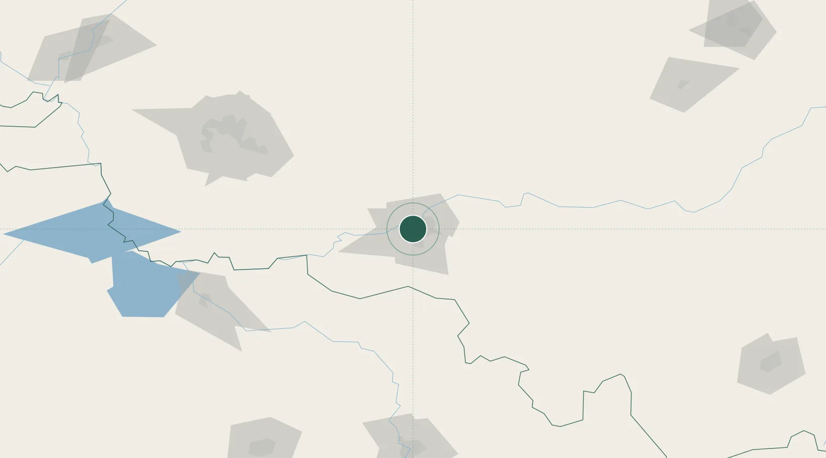
Hub Profile
Place type
Regional capital
Region
Heilongjiang
Population
5,242,897
Time zone
Asia/Shanghai
Elevation
140 m
Location
Nearby Logistics Neighbours
Cities
- 1Shuangcheng49 km
- 2Zhaodong60 km
- 3Bayan73 km
- 4Dehui151 km
- 5Tieli178 km
Airports
DatabookThe Record of Consolidated Knowledge
China beyond logistics?