Diversified Zone · China

Niujia Economic Development Zone Active
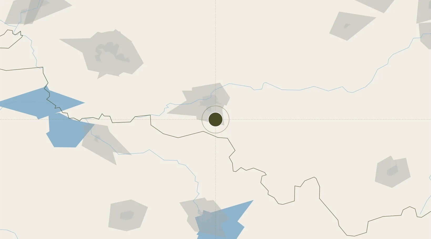
45.4389°, 126.7578°
614 ha
Zone area
447.7 km
Nearest port
22.6 km
Nearest airport

Gateway access

Nearest neighbours — logibook spatial index (haversine) over the source coordinates

Zone profile

Zone type
Diversified Zone
Open Zone Map
Region
Heilongjiang
Open Zone Map
Status
Active
Open Zone Map
Management
Public
Open Zone Map
Operator
Niujia Economic Development Zone Management Committee
Open Zone Map
Legal framework
Regulations on Taxation Policies of National High-Tech Industrial Development Zones Approved by State Council of the People's Republic of China Mar 6, 1991; Administrative Measures for the Recognition of High-tech Enterprises; Ministry of Science and Tech
Open Zone Map

Location

Location of ozm-575
Natural Earth 10m (public domain) · Heilongjiang · ozm-575 · 45.44, 126.76GoogleOSMYandex

Nearby Logistics Neighbours

Ports
  1. 1Pos'yet448 km
  2. 2Najin456 km
  3. 3Zarubino466 km
  4. 4Slavyanka467 km
  5. 5Ch'ongjin477 km
Nearest neighbours — logibook spatial index (haversine) over the source coordinates
Airports
  1. 1Lalin Air Base23 km
  2. 2Harbin Taiping International Airport45 km
  3. 3Changchun Longjia International Airport181 km
  4. 4Songyuan Chaganhu Airport182 km
  5. 5Daqing Sartu Airport192 km
Nearest neighbours — logibook spatial index (haversine) over the source coordinates
Cities
  1. 1Harbin35 km
  2. 2Shuangcheng38 km
  3. 3Bayan87 km
  4. 4Zhaodong92 km
  5. 5Dehui131 km
Nearest neighbours — logibook spatial index (haversine) over the source coordinates
DatabookThe Record of Consolidated Knowledge
China beyond logistics?
Browse databook

All Sources

Trade ZonesOpen Zone Map
CC BY
Portsthe NGA World Port Index
Public domain (US gov)
AirportsOurAirports
Public domain
LocationsUN/LOCODE
UN/LOCODE — free
← China trade zones