Export Processing Zone · China
Industrial Transfer Industrial Park, Boluo County Active
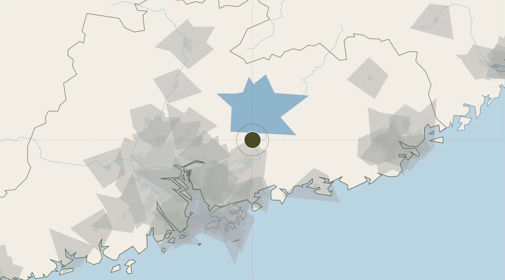
23.4403°, 114.4863°
1,250 ha
Zone area
80.5 km
Nearest port
44.9 km
Nearest airport
Gateway access
Zone profile
Zone type
Export Processing Zone
Region
Guangdong
Status
Active
Management
Public
Operator
Boluo Industrial Transfer Industrial Park Management Committee
Legal framework
Unavailable
Location
Nearby Logistics Neighbours
Ports
- 1Huizhou81 km
- 2Yantian98 km
- 3Huangpuxingang110 km
- 4Huangpu116 km
- 5Shekou126 km
Airports
- 1Huizhou Pingtan Airport45 km
- 2Shenzhen Bao'an International Airport113 km
- 3Shek Kong Air Base119 km
- 4Guangzhou Baiyun International Airport121 km
- 5Shun Tak Heliport133 km
Cities
- 1Hengli33 km
- 2Honghai Pt38 km
- 3Boluo38 km
- 4Huidong Pt55 km
- 5Donglian Port58 km
DatabookThe Record of Consolidated Knowledge
China beyond logistics?