Transport Functions
Port
Hub Profile
Region
GD
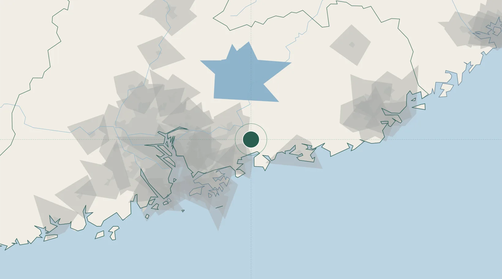
Location
Nearby Logistics Neighbours
Cities
- 1Hengli22 km
- 2Dayawan35 km
- 3Mabian Island42 km
- 4Bijia44 km
- 5Donglian Port44 km
Ports
- 1Huizhou35 km
- 2Yantian63 km
- 3Hong Kong95 km
- 4Shekou103 km
- 5Huangpuxingang123 km
Airports
- 1Huizhou Pingtan Airport13 km
- 2Shek Kong Air Base88 km
- 3Shun Tak Heliport96 km
- 4Shenzhen Bao'an International Airport100 km
- 5Hong Kong International Airport110 km
DatabookThe Record of Consolidated Knowledge
China beyond logistics?