UN/LOCODE hub · China
CNDOP

Donglian Port

23.2500°, 115.0167°
1
Transport functions

Transport Functions

Port
UN/LOCODE

Hub Profile

Region
GD
GeoNames

Location

Location of CNDOP
Natural Earth 10m (public domain) · GD · CNDOP · 23.25, 115.02GoogleOSMYandex

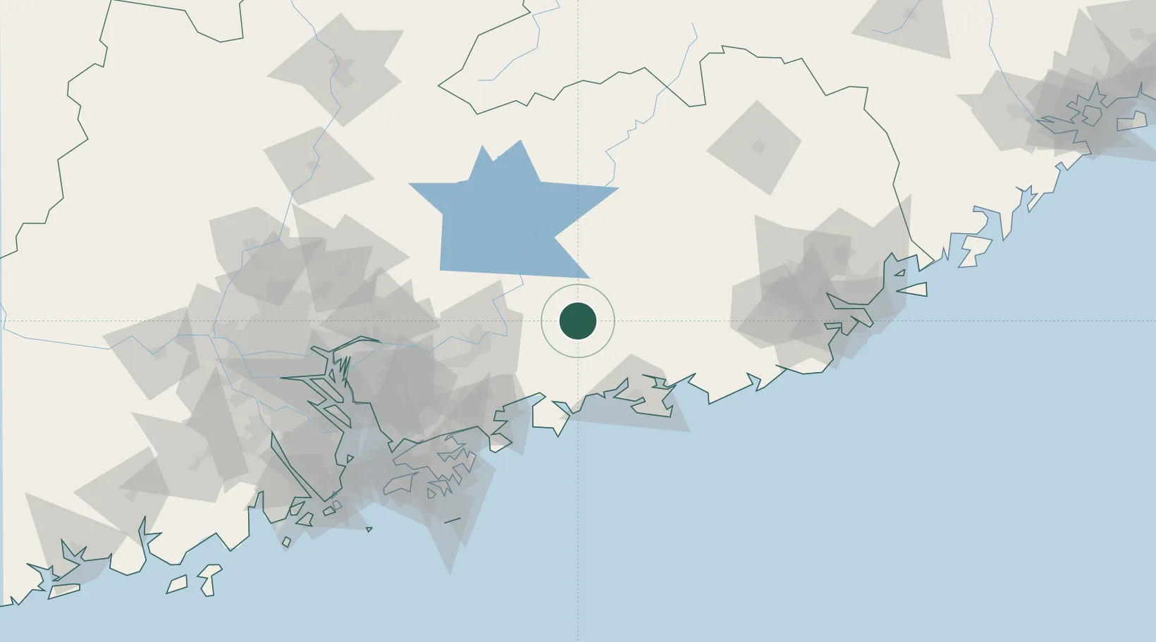
Nearby Logistics Neighbours

Cities
  1. 1Mabian Island16 km
  2. 2Hengli42 km
  3. 3Huidong Pt44 km
  4. 4Shanwei62 km
  5. 5Donghai71 km
Nearest neighbours — logibook spatial index (haversine) over the source coordinates
Ports
  1. 1Huizhou78 km
  2. 2Yantian107 km
  3. 3Hong Kong138 km
  4. 4Shekou147 km
  5. 5Huangpuxingang157 km
Nearest neighbours — logibook spatial index (haversine) over the source coordinates
Airports
  1. 1Huizhou Pingtan Airport48 km
  2. 2Shek Kong Air Base132 km
  3. 3Shun Tak Heliport139 km
  4. 4Shenzhen Bao'an International Airport142 km
  5. 5Hong Kong International Airport154 km
Nearest neighbours — logibook spatial index (haversine) over the source coordinates
DatabookThe Record of Consolidated Knowledge
China beyond logistics?
Browse databook

All Sources

LocationsUN/LOCODE
UN/LOCODE — free
Portsthe NGA World Port Index
Public domain (US gov)
AirportsOurAirports
Public domain
Trade Zonesthe World Bank SEZ database
CC BY 4.0
Trade ZonesOpen Zone Map
CC BY
← China locations