Seaport · China
ShekouCNSHK
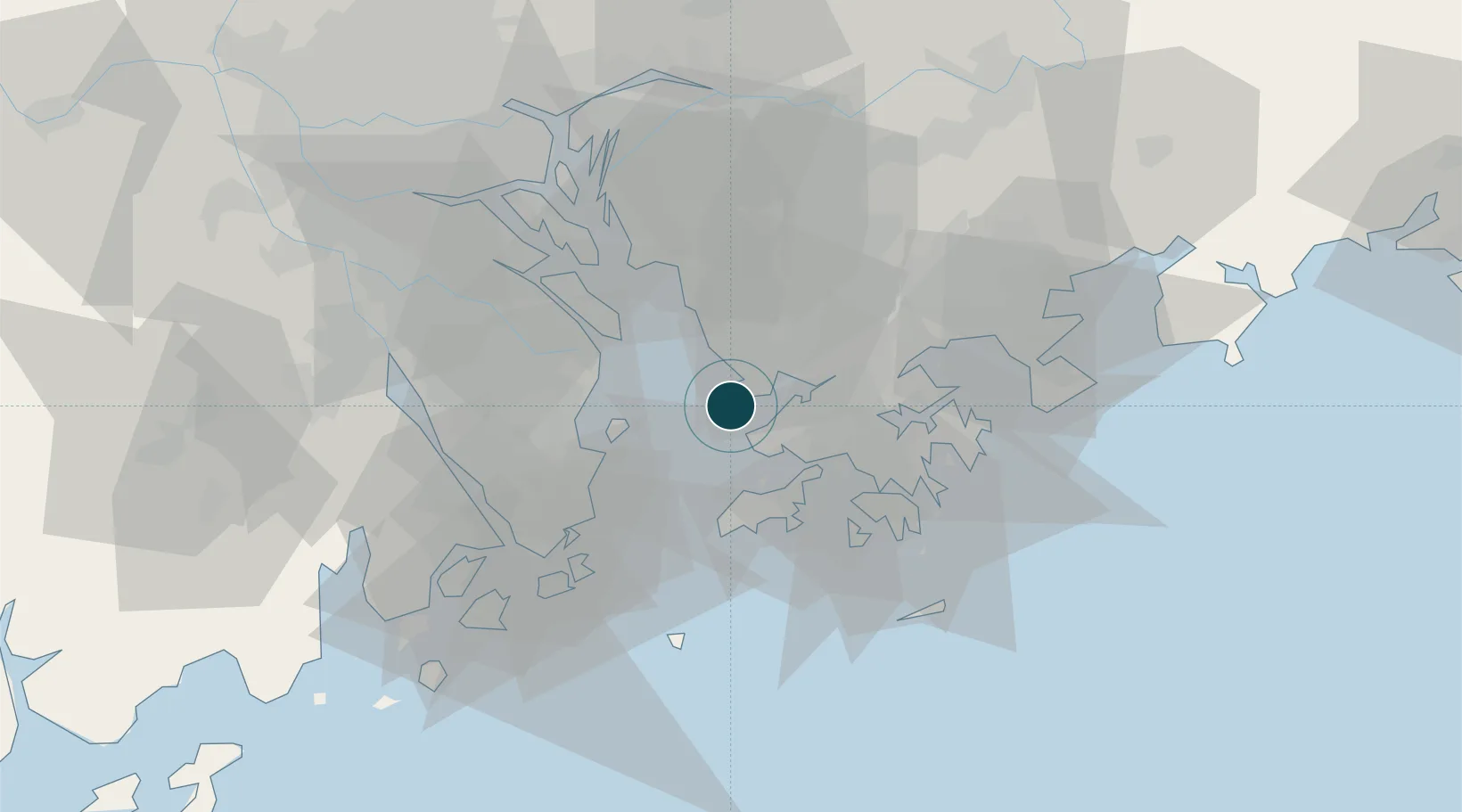
22.4667°, 113.8667°
12.5 m
Channel depth
4
Container terminals
1,212.5
Port liner connectivity
Channel & Berth Profile
Pilotage, Tugs & Services
Pilotage compulsoryYES
Pilotage availableYES
Tug assistanceYES
Salvage tugsYES
Shore powerYES
Potable waterYES
Diesel bunkersYES
MedicalYES
Garbage disposalYES
Facilities & Capabilities
Container—
Ro-Ro—
Liquid bulk—
Dry bulk—
Oil terminal—
Break bulk—
Dry dock—
RepairsNO
BunkeringYES
Rail linkYES
Dangerous cargo—
ISPS security—
Harbour Specifications
Harbour size
Medium
Harbour type
Coastal (Natural)
Shelter
Good
Water body
South China Sea; North Pacific Ocean
Tidal range
1 m
Pilotage
Yes
Liner Connectivity
1,212.5
PLSCI
Port Liner Shipping Connectivity Index for Shekou, as published by UNCTAD for the latest available quarter. Higher values indicate stronger scheduled liner-shipping integration.
Shown relative to the highest per-port PLSCI in the dataset (1,657.9).
Location
Container Terminals · 4
CHIWAN CONTAINER TERMINAL (CCT)
CCT CHIWAN CONTAINER TERMINAL
MAWAN CONTAINER TERMINAL (MCT)
MCT MAWAN CHIWAN CONTAINER TERMINAL
SHENZEN MAWAN HAIXING CONTAINER TERMINAL
SCMWH SHENZEN HAIXING HARBOUR DEVELOPMENT CO. LTD.
SHEKOU CONTAINER TERMINAL (SCT)
SCT SHEKOU CONTAINER TERMINALS CO., LTD. (SCT)
Nearby Logistics Neighbours
Cities
- 1Chiwan Pt3 km
- 2Shenzhen Pt3 km
- 3DA CHAN BAY10 km
- 4Humen Pt12 km
- 5Mawan Pt17 km
Airports
Trade Zones
DatabookThe Record of Consolidated Knowledge
China beyond logistics?