Seaport · China
YantianCNYTN
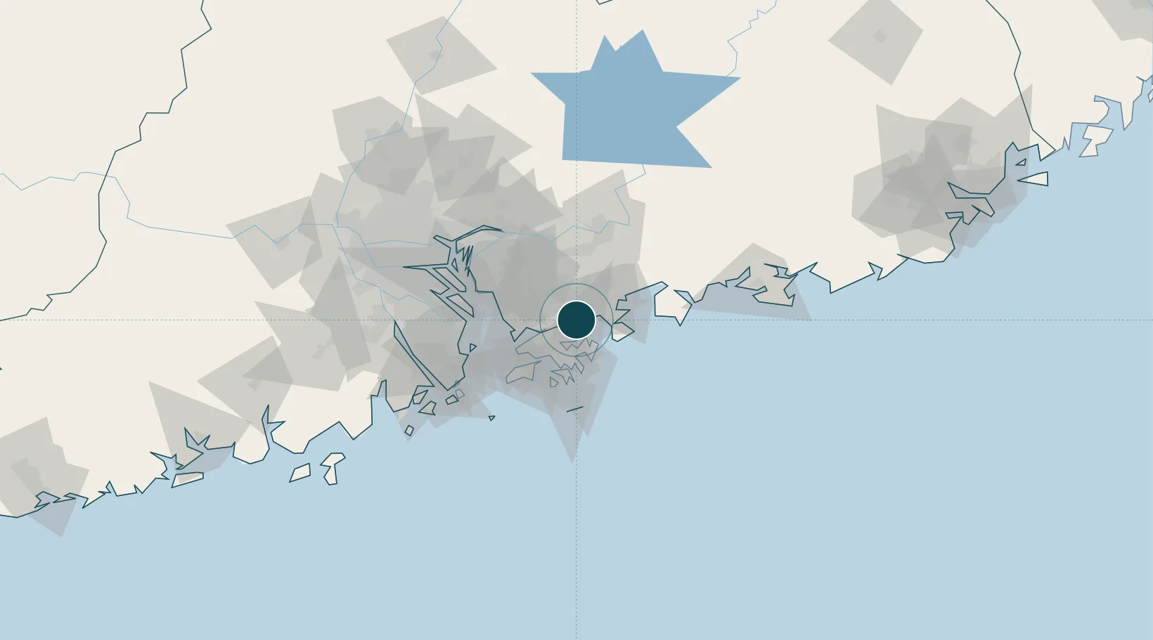
22.5833°, 114.2667°
14.0 m
Channel depth
2
Container terminals
811.3
Port liner connectivity
Channel & Berth Profile
Pilotage, Tugs & Services
Pilotage compulsoryYES
Pilotage availableYES
Pilotage advisableYES
Tug assistanceYES
Potable waterYES
MedicalYES
Facilities & Capabilities
Container—
Ro-Ro—
Liquid bulk—
Dry bulk—
Oil terminal—
Break bulk—
Dry dock—
RepairsNO
BunkeringYES
Rail linkYES
Dangerous cargo—
ISPS security—
Harbour Specifications
Harbour size
Small
Harbour type
Coastal (Natural)
Shelter
Excellent
Water body
South China Sea; North Pacific Ocean
Tidal range
1 m
Overhead limit
Yes
Pilotage
Yes
Liner Connectivity
811.3
PLSCI
Port Liner Shipping Connectivity Index for Yantian, as published by UNCTAD for the latest available quarter. Higher values indicate stronger scheduled liner-shipping integration.
Shown relative to the highest per-port PLSCI in the dataset (1,657.9).
Location
Container Terminals · 2
YANTIAN INTERNATIONAL CONTAINER TERMINAL
YICT
YANTIAN WEST CONTAINER TERMINAL
YICTW SHENZHEN YANTIAN PORT HOLDING CO. LTD
Nearby Logistics Neighbours
Cities
- 1Shenzhen6 km
- 2Huizhou13 km
- 3Guangdong Terminal17 km
- 4Fo Tan22 km
- 5Dapeng24 km
Airports
Trade Zones
DatabookThe Record of Consolidated Knowledge
China beyond logistics?