Transport Functions
Port
Road
Multimodal
Hub Profile
Place type
Local administrative seat
Region
Guangdong
Time zone
Asia/Shanghai
Elevation
45 m
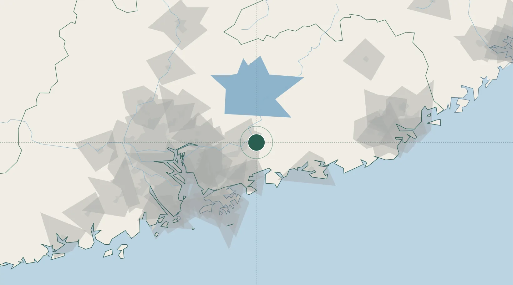
Location
Nearby Logistics Neighbours
Cities
- 1Huidong Pt22 km
- 2Honghai Pt36 km
- 3Boluo36 km
- 4Donglian Port42 km
- 5Mabian Island48 km
Ports
- 1Huizhou51 km
- 2Yantian74 km
- 3Hong Kong109 km
- 4Shekou109 km
- 5Huangpuxingang115 km
Airports
- 1Huizhou Pingtan Airport13 km
- 2Shek Kong Air Base98 km
- 3Shenzhen Bao'an International Airport102 km
- 4Shun Tak Heliport109 km
- 5Hong Kong International Airport119 km
DatabookThe Record of Consolidated Knowledge
China beyond logistics?